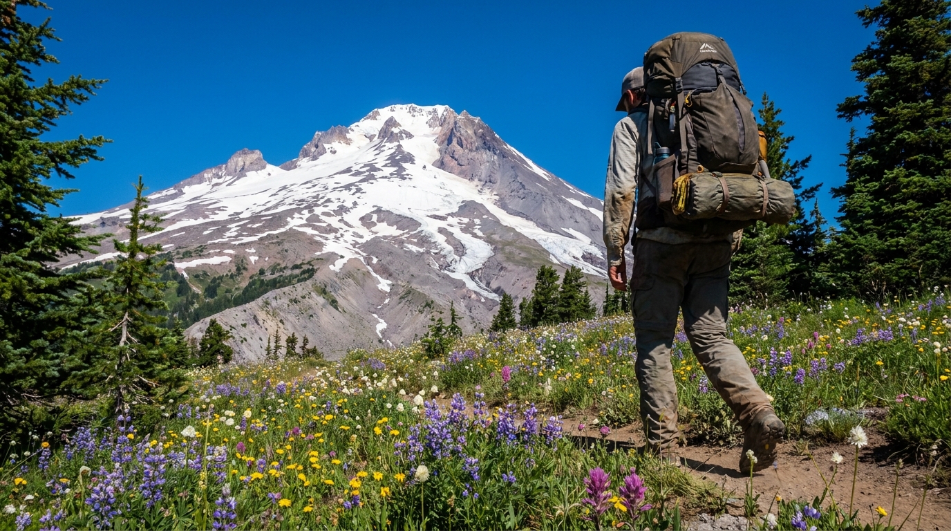
Ask most Oregon hikers to name a wilderness area and you'll hear the Eagle Cap, the Three Sisters, maybe Mount Jefferson. Strawberry Mountain almost never comes up — and that's exactly why it's worth going. Located in the Blue Mountains of Grant County, roughly 12 miles south of John Day, this 68,700-acre wilderness is as scenic as anything in the state. It has granite cirques, high desert meadows, half a dozen alpine lakes, and a summit that tops out at 9,038 feet with views stretching from the Wallowas to the Cascades on a clear day. And on a typical summer weekend, you might share the trail with a handful of people.
Getting There
The main trailhead is at Strawberry Campground, reached via Forest Road 6001 from Prairie City (about 11 miles south). Prairie City is a small ranching town on US-26, roughly 14 miles east of John Day. The drive from Portland is about 5 hours. From Bend, you're looking at 3.5 hours via US-20 through Burns or US-26 through Prineville.
Cell service disappears well before the trailhead. Download your offline maps in OnX or Gaia GPS before you leave town, and top off on fuel and water in John Day or Prairie City — services out here are sparse.
3-Day Recommended Route
Day 1: Strawberry Campground to Strawberry Lake (4.5 miles, 1,200 ft gain)
Start at the Strawberry Campground trailhead (elevation ~4,700 ft) and follow Strawberry Creek up through ponderosa pine and western larch. The trail gains elevation steadily — nothing technical, just consistent climbing. At 2.5 miles you hit the wilderness boundary. By mile 4.5, Strawberry Lake opens up: a 20-acre alpine lake ringed by granite slopes and old-growth conifers. Set up camp at one of the designated sites near the lake. The fishing is fair for small rainbow trout — bring a light spinning rod if you want dinner.
Day 2: Strawberry Lake to Slide Lake Loop via Strawberry Mountain Summit (7 miles round trip)
This is the crown jewel day. Leave camp with a light daypack and follow the trail above Strawberry Lake toward the summit of Strawberry Mountain. The upper mile is above treeline — wide open ridgeline walking on pumice and granite with 360-degree views. At 9,038 feet, you can see the Wallowa Mountains to the northeast, the Cascades on the western horizon, and Steens Mountain to the south on a clear day.
Descend the back side toward Slide Lake, a smaller cirque lake sitting in a granite bowl at 7,400 feet. Trout fishing here is better than Strawberry Lake — smaller pool, less pressure, and good structure along the far rock face. Return via the connecting trail back to Strawberry Lake camp. Total day: 7 miles, 2,400 ft gain.
Day 3: Strawberry Lake to Little Strawberry Lake, then Out (5 miles)
On the way out, take the short spur to Little Strawberry Lake — a gem that most hikers skip entirely. It's a 0.5-mile detour off the main trail and sits higher than the main lake in a tighter cirque. Return to the main trail and descend back to the trailhead. Out by noon if you started at 7 AM.
Best Time to Visit
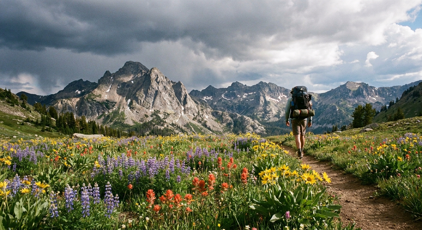
Late June through mid-September is the sweet spot. Snow lingers on the upper routes well into June — a typical year sees the summit trail clear by late June, but check the USFS Malheur NF road and trail conditions report before you go. July brings wildflower season: arrowleaf balsamroot, lupine, and Indian paintbrush carpet the meadows in a way that rivals anything on the west side. August is peak bug-free weather. September brings fall color in the aspens and larches — one of the underrated fall backpacking destinations in the state.
Regulations and Permits
No permit is required for overnight camping in the Strawberry Mountain Wilderness — one of the last major wilderness areas in Oregon without a quota system. A Northwest Forest Pass ($5/day or $30 annual) is required for the trailhead parking. Campfires are allowed below 6,500 feet when not under fire restrictions — check InciWeb and USFS fire restriction maps before your trip. Fires above treeline are generally prohibited. Bear canisters are not required but are recommended; this country has black bears.
Gear Notes for This Terrain
The Strawberry Wilderness is high desert mountain country — not the wet, misty Cascades. Expect warm, dry days and cold nights even in July. Temperatures can drop below freezing at the upper camps in August. Pack for it:
- Shelter: A three-season tent handles this terrain easily. Freestanding is easier on the rocky, rooty camp spots near Strawberry Lake.
- Water: Strawberry Creek and the lakes are your water sources. A Sawyer Squeeze or BeFree filter is sufficient. Giardia is a real concern — filter everything.
- Footwear: Trail runners or light hiking boots work well on the lower trail. The summit ridgeline is rocky but not technical — no scrambling gear needed.
- Sun protection: You're above 7,000 feet in a dry climate. SPF 50, a brimmed hat, and sunglasses are non-negotiable. Burns at elevation come fast.
- Navigation: Trail markers are adequate but not abundant. Download the Malheur NF topo map for your area in OnX or Gaia GPS. Know how to use a compass on the open ridgeline.
Why Strawberry Deserves More Attention
Oregon has a habit of concentrating its hikers in a handful of iconic spots — Crater Lake, the Enchantments-adjacent areas, the Three Sisters. Strawberry Mountain gets a fraction of that traffic and offers comparable scenery with better solitude and — for Eastern Oregon hunters — exceptional late-season deer and elk country surrounding the wilderness boundary. If you're the kind of person who would rather share a trailhead with two other parties than forty, this is your place. Go before word gets out.