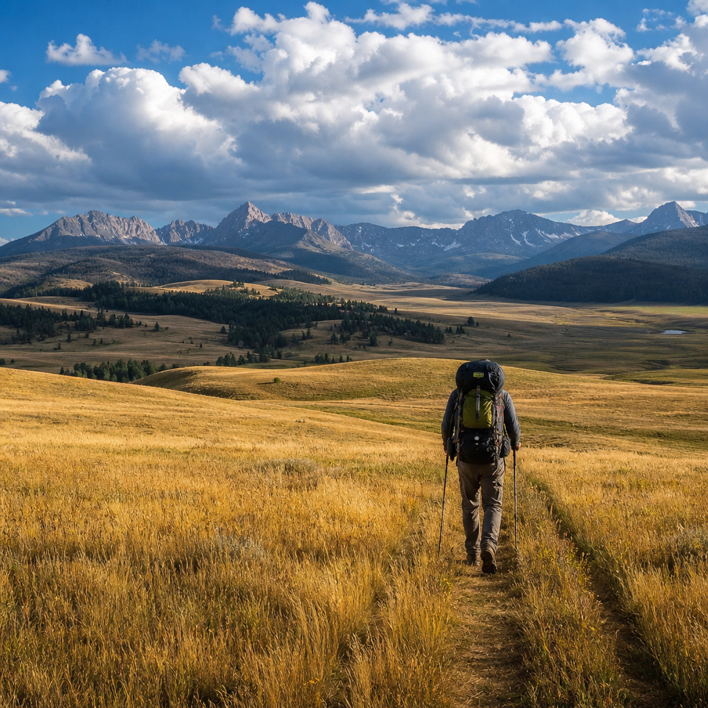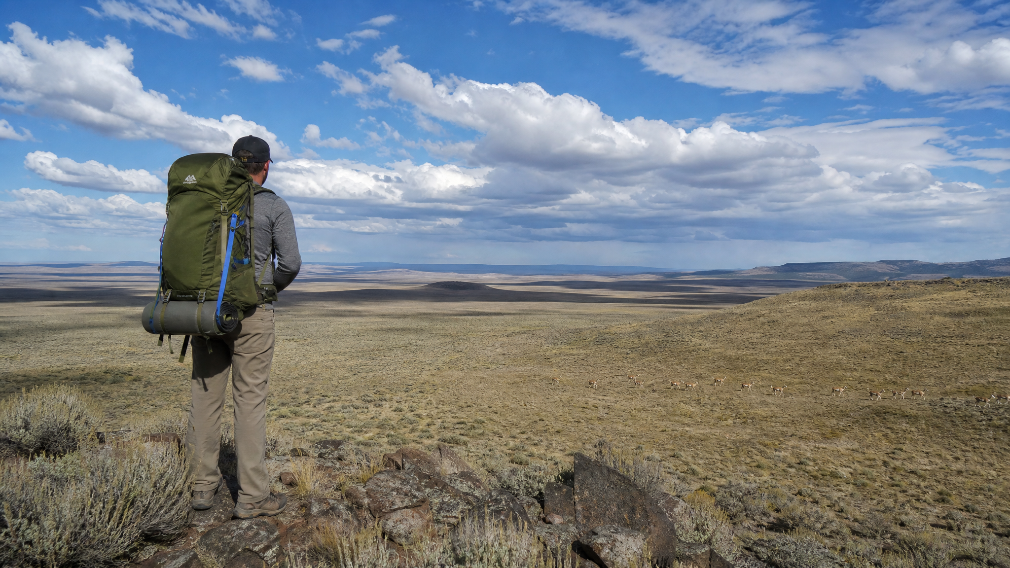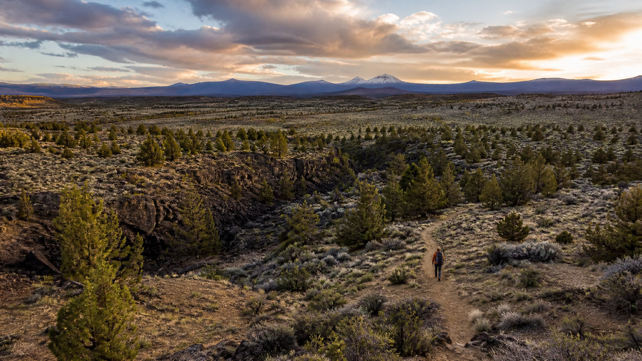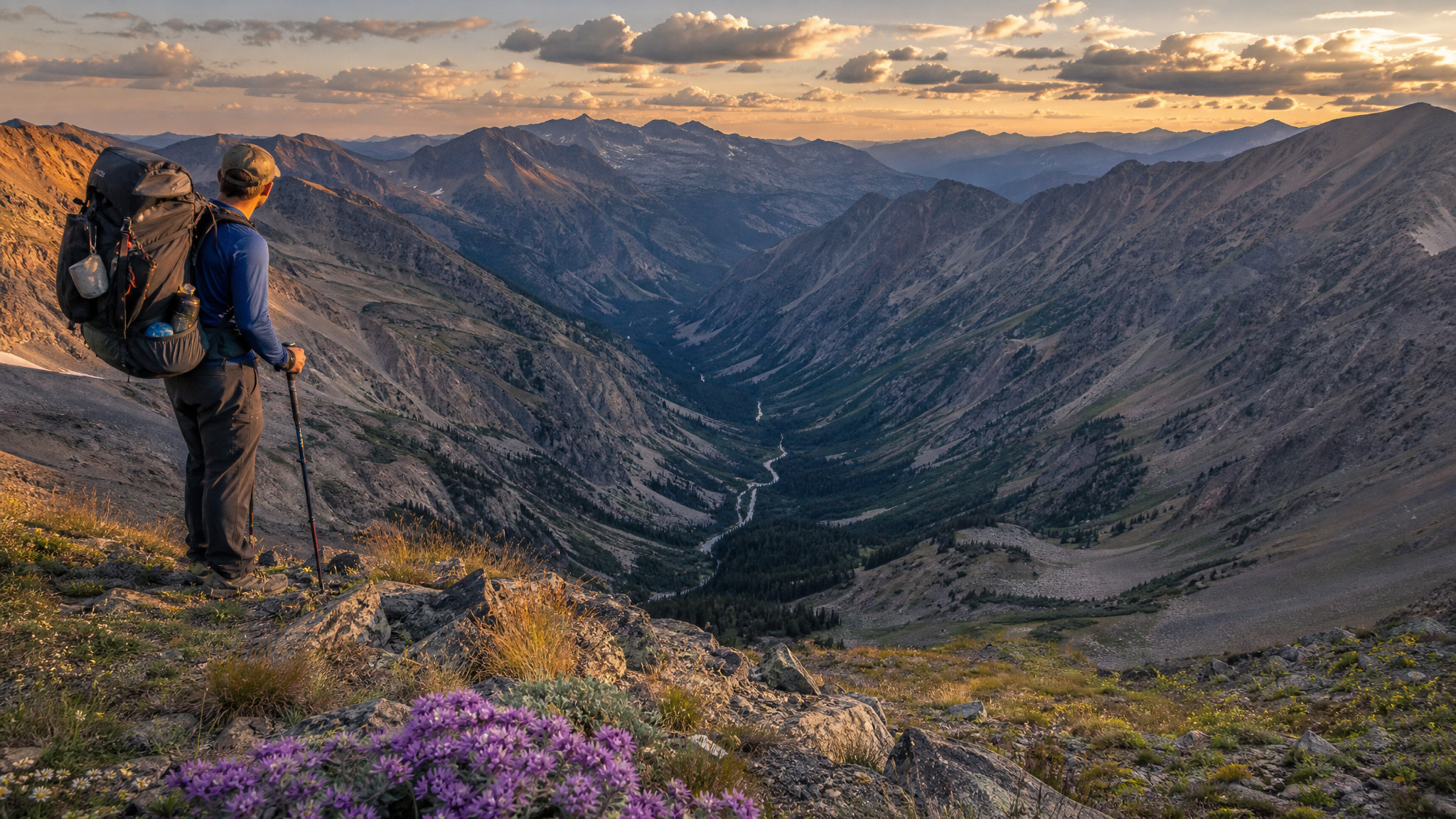
The Eagle Cap Wilderness is one of Oregon's crown jewels, and its most popular trailheads show it: Wallowa Lake, Hurricane Creek, and the Lakes Basin route all receive heavy use from June through September. But the Wallowa Mountains are large, and their southern reaches — drained by the upper Imnaha River — hold terrain just as dramatic with a fraction of the traffic. The upper Imnaha route is the wilderness experience the Wallowas used to offer before the crowds arrived. It earns its solitude through access that requires a willingness to drive 25 miles of Forest Service road, but rewards that commitment with miles of wild river canyon, an alpine basin at 8,000 feet, and cutthroat trout in virtually every pool.
Trailhead and Access
The Indian Crossing Campground and Trailhead sits at the end of Forest Road 39 (Wallowa Mountain Loop Road) and then Forest Road 3960, approximately 25 miles south of Halfway, Oregon via Highway 86. The drive is scenic and well-maintained through most seasons — a passenger car with reasonable clearance can make it in dry conditions, but a high-clearance vehicle is preferable. The trailhead sits at approximately 4,800 feet in open ponderosa pine forest at the edge of the Wallowa-Whitman National Forest.
No fee is required to park at the Indian Crossing Trailhead, but you must self-register for a wilderness permit at the trailhead box — have your party size, expected dates, and contact information ready. Permits are currently free and walk-up, but check with the Wallowa Valley Ranger District for current rules as wilderness management in the Eagle Cap has been evolving.
The Route: 3 Days, 28 Miles
Day 1: Indian Crossing to Imnaha Falls Camp (approx. 10 miles, 1,800 feet gain)
The trail follows the south bank of the upper Imnaha River from the trailhead, gaining elevation gradually through open pine and fir forest before the canyon tightens and the terrain becomes more dramatic. The trail is well-maintained and signed for the first several miles. You'll cross multiple small tributaries — some require ford-stepping on rocks in late summer, but none are dangerous by August except immediately following heavy rain.
Imnaha Falls — a cascade of roughly 50 feet tucked into a side draw — is the first major landmark and a satisfying early-trip destination. Camp in the flat ground below the falls or on the bench above the river just past the drainage. Water is abundant; treat before drinking. Wildlife is excellent on Day 1. This drainage holds a healthy elk population — you may see cows and calves in the meadows along the river in early morning, and bull sign (rubs, wallows) becomes increasingly evident as you move upriver. Black bears are common in the berry patches on south-facing slopes above 5,500 feet. Hang or canister all food.
Day 2: Imnaha Falls to Big Sheep Basin via Hawkins Pass (approx. 9 miles, 3,400 feet gain)
The second day is the crux of the trip — a sustained climb from roughly 6,200 feet at camp to Hawkins Pass at approximately 8,700 feet, followed by a descent into the Big Sheep Creek drainage. This section of trail transitions from forested river canyon to open alpine terrain, and the views expand dramatically as you approach the pass.
Hawkins Pass sits on the spine of the Wallowa Mountains and offers one of the most spectacular panoramas in Oregon. To the east, the Snake River canyon and the Seven Devils Range in Idaho fill the horizon. To the west and north, the main Eagle Cap Wilderness peaks — the Matterhorn, Chief Joseph Mountain, and the craggy summits above the Lakes Basin — define the skyline. In late August, wildflowers are still blooming at this elevation: yellow arrowleaf balsamroot on the lower slopes, alpine paintbrush and penstemon near the pass.
Descend from the pass into Big Sheep Basin — a classic glacially carved hanging valley with a small lake at its center. Camp on the flat ground above the lake outlet and fish the lake for westslope cutthroat in the evening. A 4-weight fly rod with a size 14 elk hair caddis or a small stimulator will catch fish in virtually every cast during evening rises. Cutthroat in these alpine lakes are rarely over 12 inches but are spectacularly colored and willing — a perfect reward after a long climbing day.
Day 3: Return to Indian Crossing (approx. 10 miles out)
Most parties retrace the route back to Indian Crossing on Day 3, which is a long but straightforward return through familiar country. If your group is ambitious, a longer loop option exists via the Cornucopia Trail that connects to the Cornucopia Mine ruins and eventually to the Pine Valley drainage — but this requires a car shuttle. The out-and-back is fully satisfying and requires no shuttle logistics.
Fishing the Upper Imnaha
The upper Imnaha River is classified as a wild trout stream and holds excellent populations of westslope cutthroat throughout its length. A valid Oregon fishing license and Combined Angling Tag are required. Catch-and-release is the ethical choice in this remote drainage where fish receive minimal restocking and wild populations are self-sustaining. A 4- or 5-weight fly rod, or an ultralight spinning setup with small Panther Martins and Rooster Tails, will produce fish in the plunge pools and runs throughout the canyon. Match your approach to the water: short, accurate casts in the tight canyon sections; longer drifts through the open meadow reaches where cutthroat can be selective.
What to Bring
- Water treatment: Filter or treat all water — the upper Imnaha drainage has cattle grazing on adjacent private land, and Giardia risk is real
- Bear canister or hang system: Bears are active and experienced in this drainage; a hard canister is the recommended choice
- Layers: Even in late August, Hawkins Pass can see afternoon thunderstorms and temperatures dropping to freezing at night — a lightweight insulated layer and rain shell are mandatory
- Trekking poles: Useful on the sustained climb to the pass and for river crossings
- Navigation: Download offline maps via CalTopo or OnX before leaving cell service — the upper Imnaha trail is maintained but not heavily signed in the middle sections
Best Time to Go
Late July through mid-September is the optimal window. Snow lingers on the north side of Hawkins Pass into early July in average snow years, and afternoon thunderstorm frequency increases after mid-August. Late August is historically excellent: trails are clear, streams are low and fishable, wildflowers are at peak above 7,000 feet, and overnight temperatures are cold enough for comfortable sleeping without being punishing. By late September, early snow is possible at pass elevation and nights become genuinely cold.
The upper Imnaha River trail is the Wallowas without the crowds, without the weekend campers, and without the long queue at the lake trailhead. If you've hiked the Eagle Cap's famous routes and are ready for something wilder, this is where to go next.