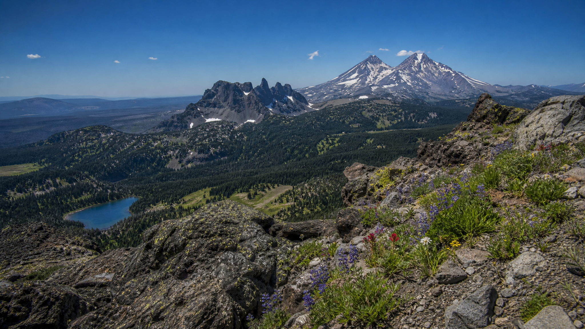
There are scenic hikes in Oregon, and then there is the Tam McArthur Rim. It's not the longest route or the most grueling approach — but at the top of the rim, you're standing on the edge of a broad volcanic plateau with 360-degree sight lines that include the South Sister, Middle Sister, North Sister, Broken Top, Mount Bachelor, and on a clear day, the distant white cone of Mount Jefferson to the north. It's the kind of panorama that stops conversations cold.
Located in the Three Sisters Wilderness just south of Sisters, Oregon, the Tam McArthur Rim is accessible as a strenuous day hike or a comfortable overnight trip using Three Creek Lake as a base camp. Either way, late summer — specifically late July through mid-September — is the prime window when snow has cleared the trail and wildflowers are at peak bloom across the rim's broad pumice flats.
Getting There
From Sisters, drive south on Elm Street (which becomes Forest Road 16, also called Three Creek Road). Follow FR-16 approximately 17 miles to Three Creek Lake. The road is paved for the first few miles and well-maintained gravel after that — most two-wheel-drive vehicles handle it fine in dry conditions. There is a day-use fee and the trailhead for the Tam McArthur Rim Trail (#4078) begins at Three Creek Lake Campground.
A Northwest Forest Pass or America the Beautiful Pass is required for parking at the trailhead. Camping at Three Creek Lake requires a Willamette National Forest campsite reservation in summer — book well in advance if you want a site on weekends.
The Trail
The Tam McArthur Rim Trail gains approximately 1,500 feet over roughly 3.5 miles one-way to the main rim viewpoint, though most hikers continue another half-mile across the plateau to the far rim above Broken Hand, adding more distance and elevation but dramatically expanding the view. Round-trip distance to the primary viewpoint and back is about 7 miles.
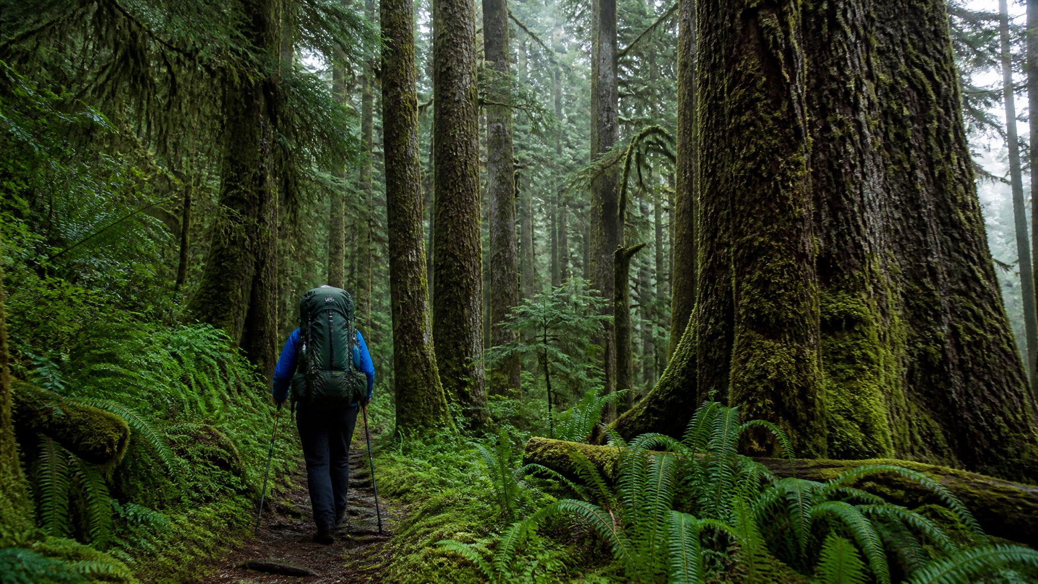
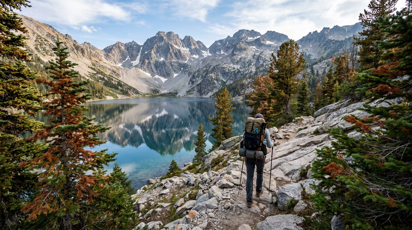
The climb is steady but not technical. The first mile gains elevation through dense lodgepole pine and mountain hemlock, crossing a talus field that requires careful footwork. Above the talus, the trail enters open pumice terrain where the gradient eases and the views begin opening to the east. The final push to the rim lip is exposed and loose in places — trekking poles are worth carrying.
Key Trail Segments
- Trailhead to forest exit (mile 0–1.5): Dense timber, moderate grade. Easy footing on packed dirt trail.
- Talus crossing (mile 1.5–2.0): Pick your way carefully. Wear sturdy, ankle-supporting footwear. This section holds snow late into June in heavy snow years.
- Open pumice plateau (mile 2.0–3.0): Gradual, wide-open terrain. Wildflowers peak here in July and early August. Wind can be significant.
- Rim viewpoint and beyond (mile 3.0–4.0+): The main view opens at approximately mile 3. Continue east across the rim for increasingly dramatic angles on Broken Top's shattered face.
Overnight Backpacking Options
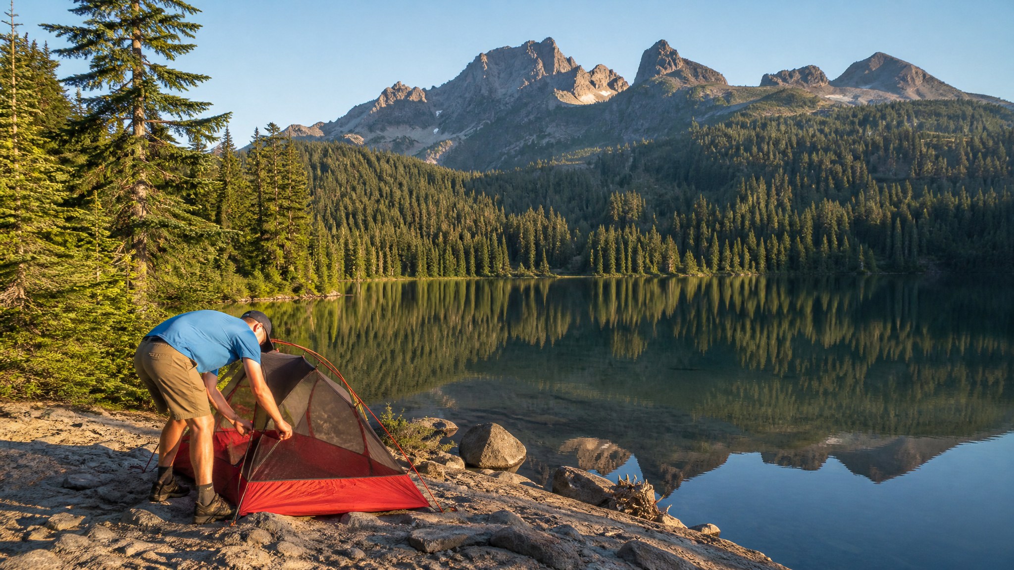
Three Creek Lake (7,186 feet) and smaller Lava Lake (one mile west) offer established camping with fire rings and bear boxes at the developed campground sites. Wilderness camping is also permitted within the Three Sisters Wilderness boundary — observe the 200-foot setback from water sources and practice Leave No Trace camping. Campfires are often restricted during fire season (typically August–September), so carry a camp stove and check current USFS fire restrictions before your trip.
A recommended overnight strategy: camp at Three Creek Lake on Friday evening, summit the rim Saturday morning for the clearest skies and best lighting on the Sisters, then return to camp for the afternoon before driving out Sunday morning. This pacing lets you hit the rim at golden hour for photography without the brutal midday sun on the approach.
What to Bring
- Water: Three Creek Lake is your only reliable water source. The rim itself is bone dry. Carry at least 3 liters on your summit day.
- Wind layers: The rim is fully exposed. Even in August, temperatures can drop into the 40s with strong west winds by afternoon. A hardshell and insulating mid-layer are not optional.
- Sun protection: At 8,000+ feet on open pumice, UV exposure is intense. Sunscreen, sunglasses, and a brimmed hat are critical.
- Navigation: Download the offline topo on onX or Gaia GPS. The pumice plateau can be disorienting in flat light or early morning fog.
- Bear canister: Required for overnight camping within the Three Sisters Wilderness as of recent USFS policy changes. Confirm current requirements on the Deschutes National Forest website.
Seasonal Notes
The Tam McArthur Rim Trail is typically snow-free from early July through mid-October in average snowpack years. For a 2026 opener, check the current snow conditions through the Deschutes National Forest's Sisters Ranger District — the talus crossing can be icy in early season even when the lower trail is clear. Wildflowers on the pumice plateau peak in late July to early August, making it arguably the best aesthetic window for the hike. By September, the crowds thin, the air cools, and the views are still spectacular — an excellent fall shoulder-season option.
Final Thoughts
The Tam McArthur Rim earns its reputation. It's not a casual walk, but it's within reach of any reasonably fit hiker with proper preparation. If you're planning an Oregon Cascade summer trip and can only do one high-route day hike near Sisters, make it this one. The views from the rim above Broken Hand rank among the finest in the entire state — and that's a high bar in a place like Oregon.