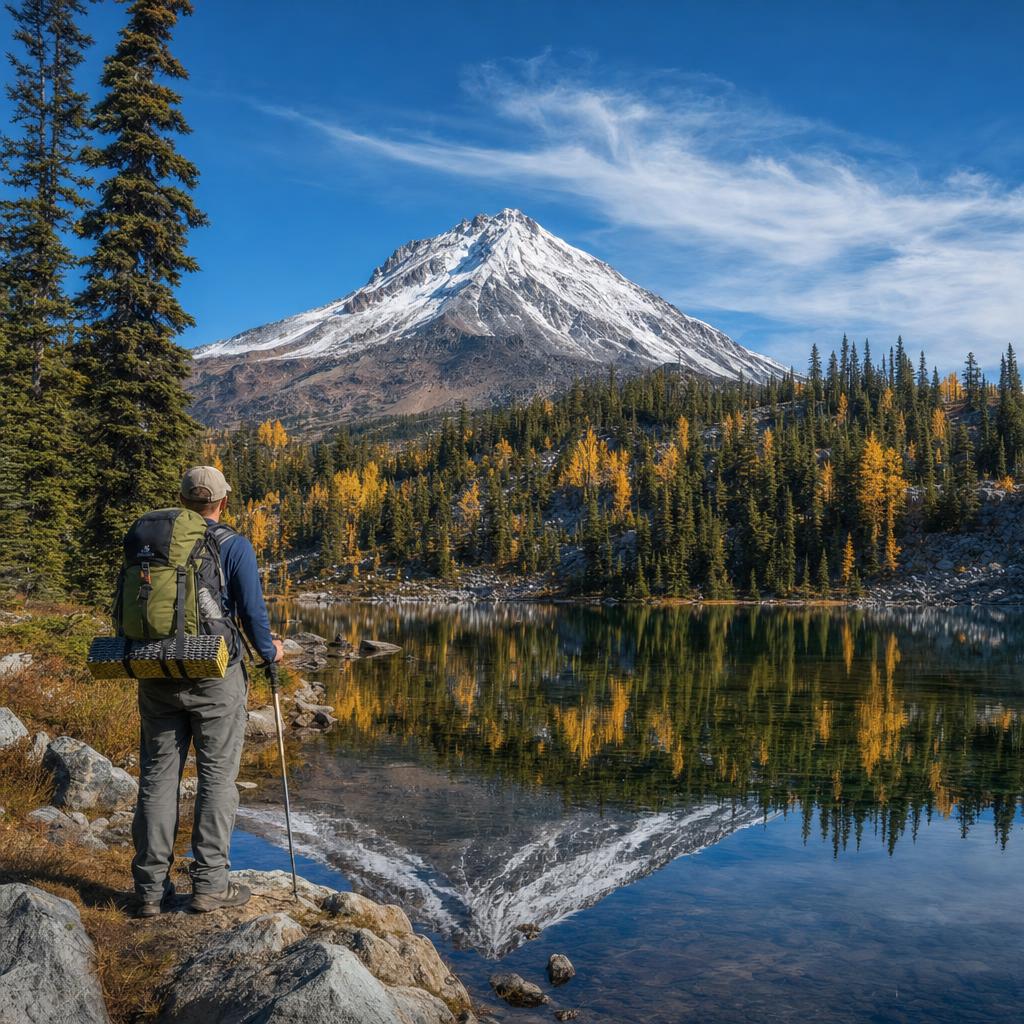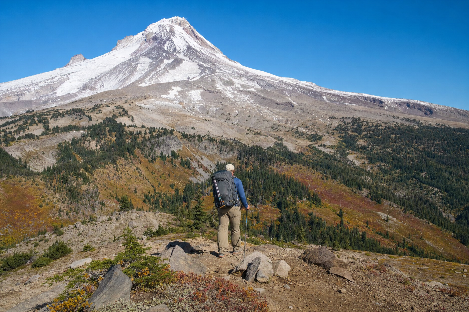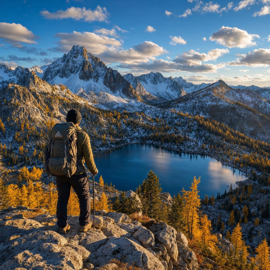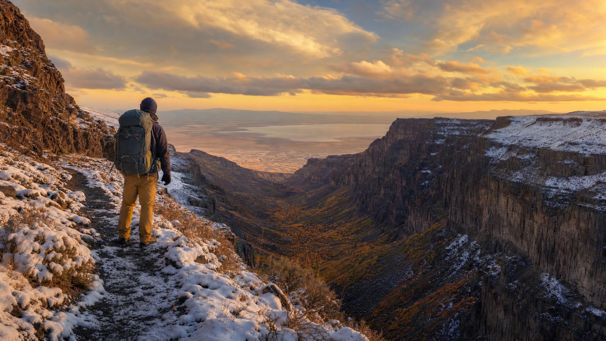
Steens Mountain is one of Oregon's great wilderness secrets. This massive fault-block mountain in Harney County rises abruptly from the Alvord Desert floor to 9,733 feet — a vertical gain of nearly 5,000 feet in just a few miles on the eastern escarpment. The western slope is gentler, carved by glaciers into four enormous U-shaped gorges: Kiger, Little Blitzen, Big Indian, and Wildhorse. A multi-day backpacking loop connecting these gorges, the summit rim, and the high meadows is one of the most rewarding trips in the entire Pacific Northwest — and you're likely to have it largely to yourself.
When to Go
The Steens window is narrow. Snow closes the summit loop road by November and may not reopen until late June or even July in heavy snow years. The sweet spot for backpacking is mid-July through early October, with late August and September being ideal: wildflowers have passed but the aspen groves in the gorges are turning gold, temperatures are moderate, and the hunting season traffic is still weeks away. Late September trips often catch spectacular aspen color in Kiger and Big Indian Gorges.
Water availability varies by season — late-season trips (September–October) may find some high-elevation springs reduced, so plan water carries carefully and filter everything.
The Classic Loop: 3 Days, 25 Miles
Day 1: Kiger Gorge Trailhead to High Camp (8 miles)
Start at the Kiger Gorge viewpoint on the Steens Mountain Loop Road (elev. ~8,400 ft) and drop into the gorge via the unmaintained but well-traveled trail that follows the gorge's north rim before descending. Kiger Gorge is home to the last remaining herd of pure Kiger mustangs — the genetic stock that Spanish colonial horses left behind. Watch for them in the canyon bottom meadows. The gorge narrows and steepens as you descend; the trail crosses the Kiger Creek drainage multiple times. Camp at one of the established sites near the aspen groves at approximately mile 8, elevation ~6,800 feet. Water is reliable here through September.
Day 2: Traverse to Big Indian Gorge (10 miles)
The traverse between gorges is the heart of the loop. Climb back toward the rim on the south wall of Kiger Gorge, gaining the high plateau that separates the drainages. The route crosses open tundra-like terrain above 8,500 feet with 360-degree views: the Alvord Desert playa shimmering to the east, the Warner Mountains to the south, and Hart Mountain's flat top to the southwest. Navigation requires a topo map and compass or GPS — there are no trail markers above treeline and the terrain is deceptive in poor visibility.
Drop into Big Indian Gorge mid-afternoon. This is Steens' largest glacial canyon, with sheer walls rising over 2,000 feet above the canyon floor. Camp near Big Indian Creek at approximately 7,200 feet. The fishing for wild redband trout in Big Indian Creek is exceptional — catch-and-release with barbless hooks is the only ethical approach on these wild fish.
Day 3: Big Indian Gorge Out to Page Springs (7 miles)
Follow Big Indian Creek downstream as the canyon opens into sagebrush high desert. The trail becomes more defined below the aspen zone and eventually connects to the Page Springs Campground near Frenchglen — a logical vehicle shuttle endpoint. Page Springs sits at the base of the mountain along the Donner und Blitzen River and offers the only developed camping with water and vault toilets in the area.
Permit and Regulations
The Steens Mountain Cooperative Management and Protection Area (CMPA) is managed by the BLM Burns District. No wilderness permit is required for overnight camping, but Leave No Trace practices are mandatory:
- Camp at least 200 feet from water sources and established meadows
- Pack out all waste — wag bags are strongly recommended above treeline where cat holes are impractical in rocky soil
- Campfires are prohibited above approximately 7,000 feet; use a stove only
- Dogs must be leashed in areas where wild horses are present — this is enforced
Key Gear Considerations
Steens weather is famously unpredictable. The summit plateau can receive snow in any month of the year, and afternoon thunderstorms are common in July and August. Afternoon lightning on the exposed rim is a genuine danger — plan to be off high terrain by noon.
- Navigation: Download CalTopo or Gaia GPS maps offline — there is zero cell service on the mountain. Carry a physical 7.5-minute USGS topo as backup.
- Water: A reliable filter (Sawyer Squeeze or Katadyn BeFree) plus a UV pen backup. Sources in the gorges are reliable but high plateau crossings may be waterless for 4–6 miles.
- Wind: The east escarpment generates ferocious winds — stakes for your tent should be overbuilt. A four-season shelter earns its weight on exposed rim campsites.
- Sun: High desert UV at 9,000 feet is brutal. SPF 50+, lip protection, and sun gloves if you're prone to burning.
Wildlife You'll Encounter
Steens Mountain supports a remarkable assemblage of wildlife concentrated in a relatively small area. Expect pronghorn on the lower slopes, wild Kiger mustangs in the gorge bottoms, golden eagles along the rim, and mule deer throughout. The redband trout in Big Indian and Little Blitzen Creeks are descendants of the original Pleistocene fish populations — genetically distinct and visually stunning with their crimson lateral stripes. Bighorn sheep were reintroduced to the east escarpment and are occasionally spotted near the Wildhorse Lake drainage.
Getting There
Frenchglen is the gateway community for Steens Mountain, located 60 miles south of Burns on Highway 205. The Steens Mountain Loop Road begins just south of Frenchglen at Page Springs Campground. The northern half of the loop road (above approximately 7,000 feet) is accessible via high-clearance 2WD in dry conditions but requires 4WD in wet weather — the road surface is decomposed granite that becomes dangerously slick when wet. Fuel up in Burns; Frenchglen's small store has limited supplies.
The Frenchglen Hotel, a historic Oregon state-operated facility, offers simple rooms and family-style dinners for a small fee — book months in advance for summer and fall stays. It's the perfect pre-trip base camp.
The Experience
What makes Steens special isn't any single feature — it's the combination of scale, solitude, and ecological extremes packed into one mountain. In a single day's walk you move from sagebrush high desert through aspen groves, past waterfalls, up through alpine tundra to a rim overlooking one of North America's great desert playas. Almost no one is there. The nearest highway gas station is an hour away in any direction. It is, in the truest sense, the kind of place that reminds you why you carry a pack in the first place.