Northeast Oregon collects wilderness. The Eagle Cap gets the calendars and the Instagram posts. The Wallowas get the magazine features. But tucked into the northern Blue Mountains just south of the Washington border, the North Fork Umatilla Wilderness sits largely overlooked — 20,144 acres of dense old-growth timber, steep canyon walls, and the North Fork of the Umatilla River running cold and clear through it all. If you want solitude in a legitimate Pacific Northwest wilderness setting within a half-day drive of most of Oregon, this is your answer.
The Wilderness at a Glance
Designated in 1984, the North Fork Umatilla Wilderness lies within the Umatilla National Forest in Umatilla County. Elevations range from roughly 2,800 feet at the river canyon bottom to over 5,700 feet on the upper ridge systems. The terrain is defined by the canyon itself — steep, forested walls dropping to the river corridor — with tributary drainages cutting into the ridgelines on both sides. Ponderosa pine and Douglas fir dominate the lower canyon, transitioning to grand fir, lodgepole, and subalpine fir as elevation increases. The old-growth ponderosa on the lower canyon walls are cathedral-quality trees, some exceeding 500 years of age.
Wildlife is excellent. Elk use the drainages heavily, particularly in spring and fall. Mule deer are resident throughout. Black bear are present and frequently encountered on berry patches in late summer. The river holds native redband rainbow trout in the lower canyon and smaller wild cutthroat in the upper reaches and tributaries. No wilderness permit is required for overnight travel, and trail registers see modest use compared to Wallowa destinations.
The Loop: North Fork Canyon and Coyote Ridge
The most rewarding weekend itinerary combines the North Fork Trail (Trail 3075) with the upper Coyote Ridge connector, creating a roughly 18-22 mile loop with approximately 3,500 feet of total elevation gain. This is not a flat walk — the canyon walls are steep and the ridge climbs are honest — but the difficulty is well within reach of moderately fit backpackers carrying weekend loads.
Day 1: Trailhead to Upper Canyon Camp (8-9 miles)
Begin at the South Fork Umatilla Trailhead off Forest Road 32 (Bingham Road), accessible from Pendleton via Highway 11 north and east to Milton-Freewater, then south on Forest Roads into the national forest. Road conditions are generally good for two-wheel-drive vehicles in summer, though a high-clearance rig is more comfortable on the final miles of gravel.
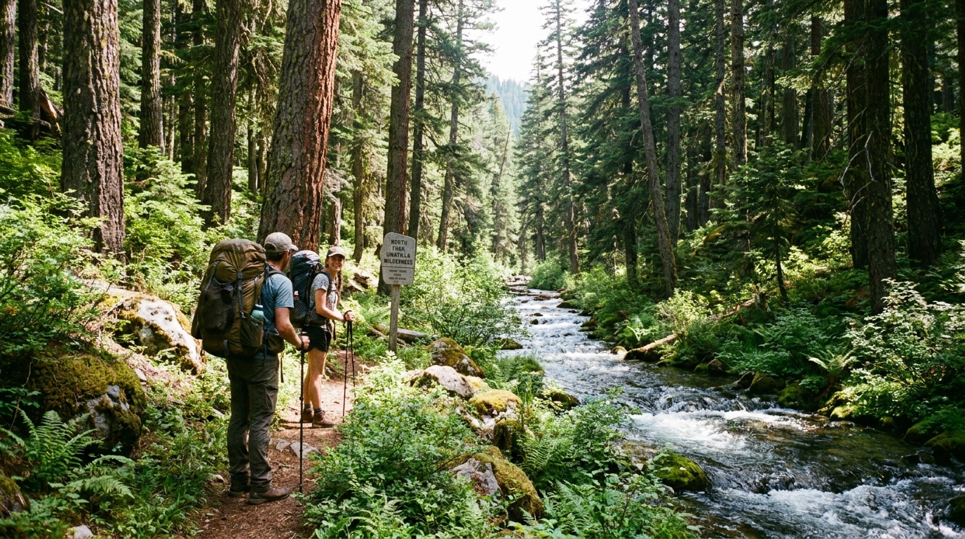
The trail drops into the canyon almost immediately from the trailhead, following the river upstream through old-growth ponderosa and Douglas fir. The first several miles are relatively flat as the trail parallels the river, offering excellent fishing access for the redband trout that hold in the deeper pools and riffles. Watch for elk sign — tracks, rubs, and wallows are common in the lower canyon, particularly in the riparian corridor.
Camp at one of the established sites in the upper canyon section where the valley widens slightly and the river forms a broad gravel bar. Water is available directly from the river — filter or treat; the watershed is generally clean but treat everything in backcountry conditions.
Day 2: Canyon to Ridge, Ridge Traverse, and Descent (10-12 miles)
Day two is the crux. From your upper canyon camp, locate the junction with the Coyote Ridge Trail (Trail 3077) and begin the climb. The ascent gains roughly 2,500 feet over approximately 4 miles — sustained and steep in places, with limited shade on south-facing sections. Start early; this ridge can be exposed and hot by mid-morning in July. Carry extra water from camp as reliable sources are scarce on the ridge in summer.
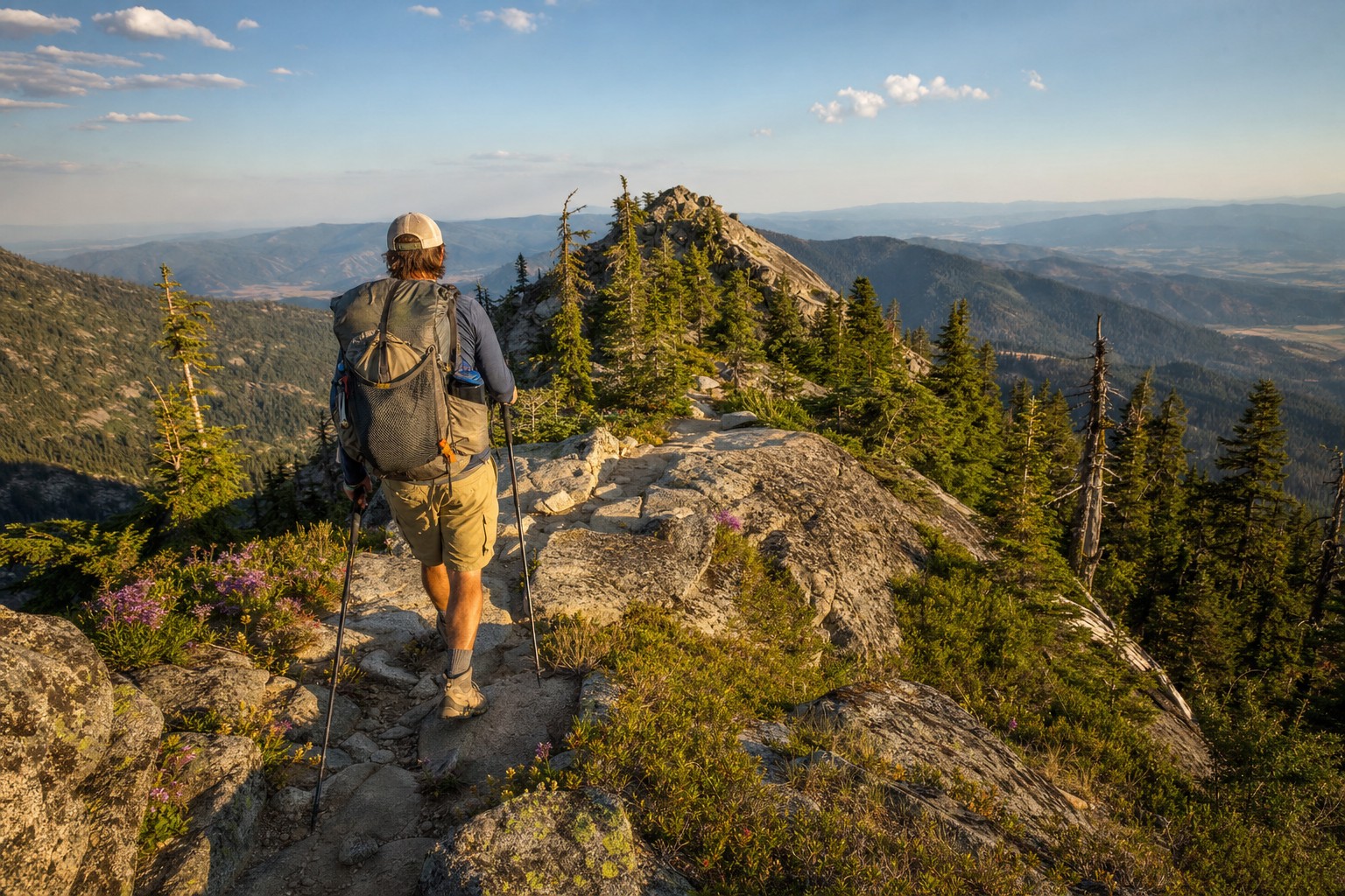
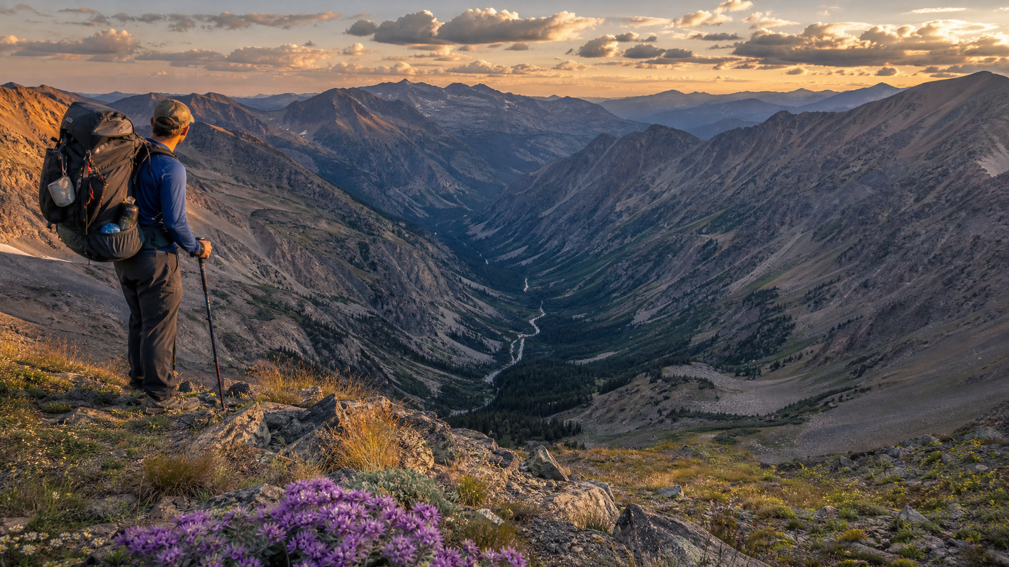
The payoff at the top is sweeping views of the Blue Mountains in every direction — the Wallowas to the southeast, the vast Umatilla plateau rolling north toward Washington, and the deeply incised canyon you climbed out of immediately below. On clear mornings, the view extends for 50 miles or more. Bunchgrass and wildflowers dominate the open ridge, and you will likely encounter few, if any, other parties up here.
The descent route drops off the western end of the ridge and follows tributary drainages back down to the North Fork, closing the loop at the trailhead. The descent is rocky in places and hard on knees with a full pack — trekking poles are strongly recommended.
Gear Notes for the North Fork
- Water filtration: The North Fork runs clear but treat everything. A Sawyer Squeeze or BeFree filter handles river water efficiently.
- Bear canister vs. hang: No canister requirement in this wilderness, but bear activity is real in late summer when huckleberries ripen. A Ursack or PCT hang is wise.
- Footwear: The canyon trail involves multiple river crossings that may require wading in early season. By late July most crossings can be stepped across on rocks, but bring gaiters or accept wet feet on some crossings.
- Fishing gear: Pack a lightweight rod. A 7'6" 3-weight travel rod with a small box of elk hair caddis, stimulators, and pheasant tails will get you into redband trout in the lower canyon pools.
- Navigation: The trail system is maintained but signage is minimal. Download the USGS topo maps for the Umatilla NF onto your phone or GPS before departing. Cell coverage is nonexistent.
Getting There
From Pendleton (the nearest significant services), head north on Highway 11 toward Milton-Freewater, then turn south on Bingham Road (Forest Road 32). The drive into the trailhead is approximately 20 miles on paved and gravel forest roads from Milton-Freewater. Allow 45 minutes from Pendleton to the trailhead. Top off fuel and water before leaving town — the last services are in Milton-Freewater.
Pendleton is also the access point for the Columbia River country to the north and the Wallowas to the south, making the North Fork a natural addition to a longer northeastern Oregon outdoor trip. Combine it with a day on the Grande Ronde for smallmouth bass, or use it as a leg-stretcher before heading into the Eagle Cap Wilderness.
The Bottom Line
The North Fork Umatilla Wilderness will not disappoint anyone who walks into it. The old-growth timber alone is worth the drive. Add a cold trout stream, genuine wilderness solitude, and the kind of ridge views that remind you why you carry a pack in the first place, and you have a destination that punches well above its reputation. The lack of fame is a feature. Go while it is still quiet.