The Wallowa Mountains get enormous love on the Pacific Northwest backpacking circuit — and they earn every word of it. But most of that attention concentrates in the same corridors: the main Lakes Basin via the Wallowa Lake trailhead, Hurricane Creek to Aneroid Lake, the Minam River canyon. The Lostine River valley — the third-longest drainage in the Eagle Cap Wilderness — receives a fraction of the foot traffic its scenery deserves.
That oversight is yours to exploit.
The Route Overview
The Lostine River loop departs from the Two Pan Trailhead at the end of Lostine River Road, approximately 18 miles south of the town of Lostine in Wallowa County. The road is paved to the campgrounds and transitions to good gravel for the final miles to Two Pan — most two-wheel-drive vehicles handle it without difficulty in summer conditions, though high clearance helps on the last two miles.
The loop covers approximately 20–24 miles depending on side trips, with roughly 3,800 feet of total elevation gain. Most backpackers complete it comfortably in 3 days at a moderate pace. A Wallowa-Whitman National Forest Eagle Cap Wilderness self-issue permit is required (free, at the trailhead register). Group sizes are limited to 12 people; camping within 200 feet of lakes and streams is prohibited throughout the wilderness.
Day 1: Two Pan to Minam Lake (8 miles, +2,400 ft)
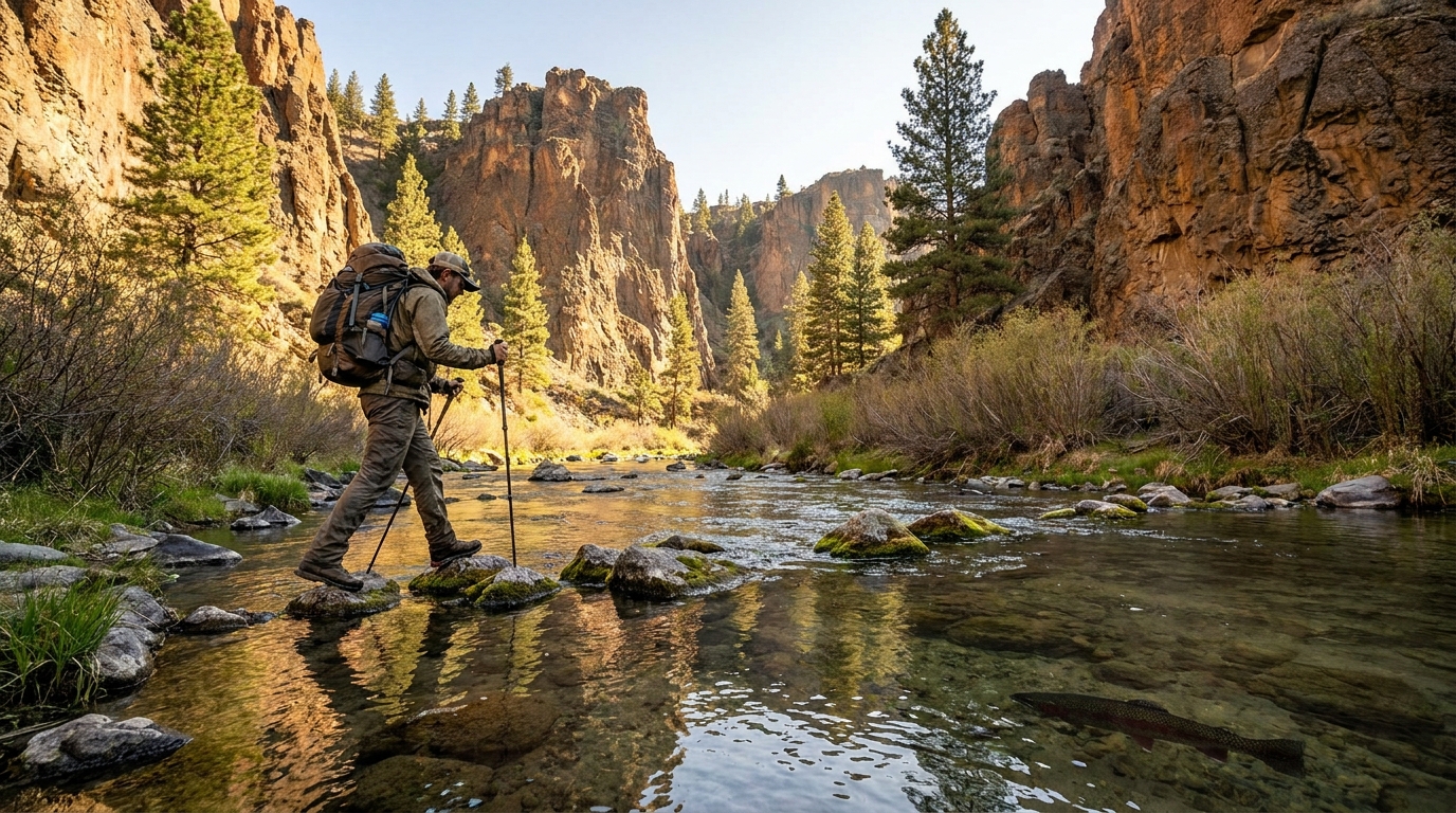
Leave Two Pan on the Lostine River Trail (Trail 1670) heading south into the canyon. The Lostine River runs clear and cold over granite cobble, flanked by late-summer wildflowers and stands of Engelmann spruce and subalpine fir that give way to open rocky terrain as you gain elevation. The canyon walls rise steeply on both sides, creating a corridor that feels genuinely remote within minutes of the parking area.
The Copper Creek Trail junction at roughly 4 miles is the first navigation point. Stay left on the main river trail — the Copper Creek route branches east toward the Imnaha country and is a different trip entirely. Above this junction, the valley steepens and the trail begins serious switchbacks through talus and krummholz as you approach the glacial basin below Minam Lake.
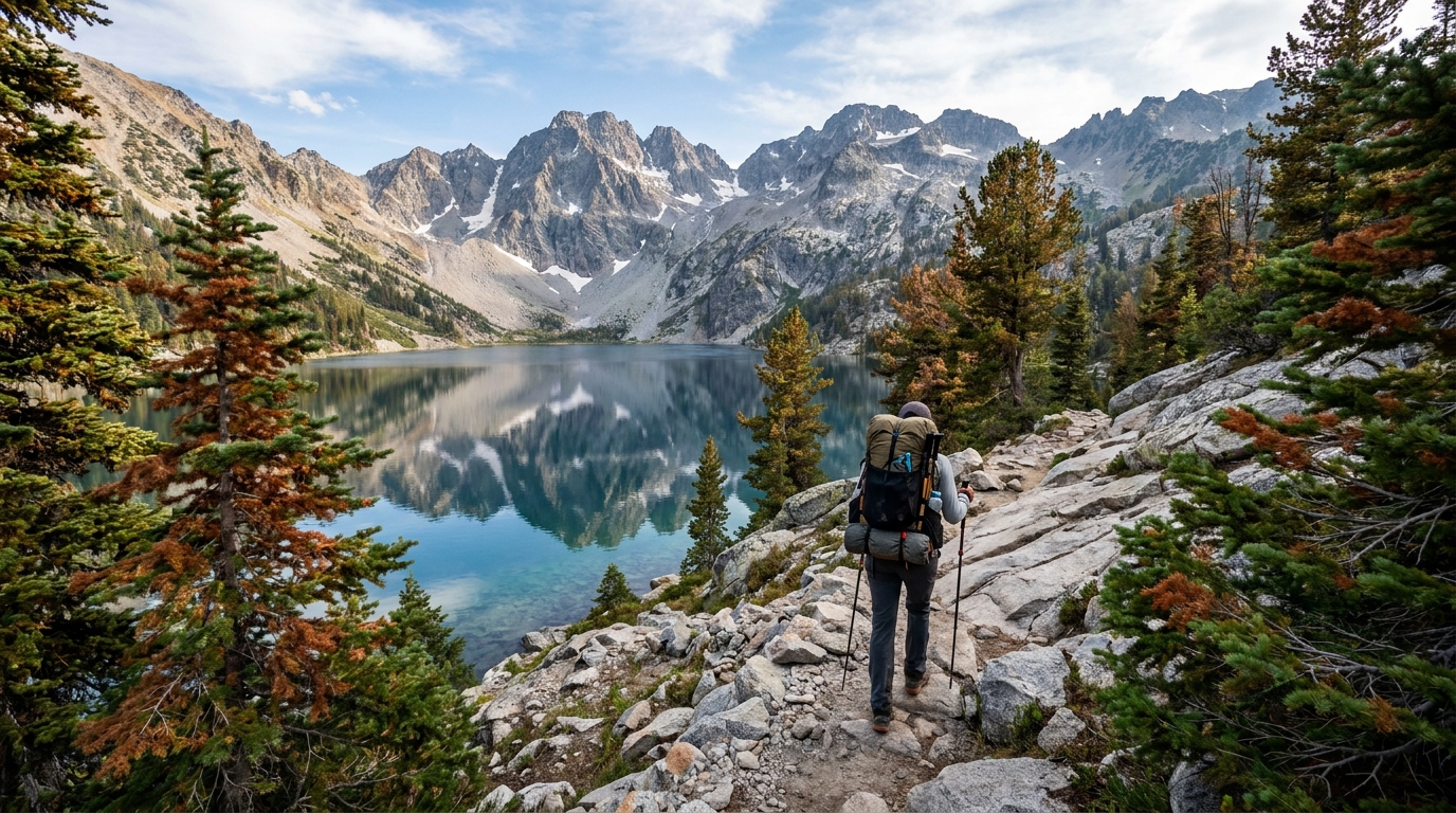
Minam Lake sits at 7,400 feet in a cirque below the broken granite of the main Wallowa crest. It's smaller and quieter than the famous Lakes Basin lakes, but its position under peaks that hold snow into late July most years makes for dramatic evening alpenglow. Camp on established sites on the lake's north shore. The lake supports a healthy population of brook trout in the 10–14 inch range that respond well to small dry flies or ultralight spinning lures in the evening rise.
Day 2: Minam Lake to Swamp Lake via High Route (6–8 miles)
The second day is the aesthetic centerpiece of the loop. From camp, follow the use trail east toward the low saddle at approximately 8,600 feet — there is no maintained trail across this section, so map and compass skills matter. The view from the divide looking back down the Lostine valley and forward across the East Lostine basin is one of the finest panoramas in the entire Eagle Cap Wilderness.
Descend the east side toward Swamp Lake and the East Fork Lostine River valley on the East Lostine Trail (Trail 1662). Swamp Lake is misnamed — it's a clear, shallow alpine lake ringed by sedge meadows that turn gold in late August, surrounded by granite walls on three sides. Camp here and spend the afternoon fishing or scrambling toward the ridge above camp for expansive views north. The evening light on the East Lostine basin is the kind of thing that brings people back to the Wallowas year after year.
Day 3: Swamp Lake Back to Two Pan (6–7 miles, -1,800 ft)
The East Lostine Trail descends the valley north through textbook Wallowas scenery — meandering alpine meadows, spruce-fir forest, and a half-dozen creek crossings on stepping stones. The East Fork joins the main Lostine at the Two Pan Campground, completing the loop at your vehicle.
Budget 3–4 hours and resist the urge to rush. The last 2 miles along the lower Lostine River run wide, clear, and cold through old-growth corridor that feels like a different world from the granite alpine terrain above.
Best Season and Conditions
Late July through mid-September is the prime window. Snow can linger on the unmarked high route above Minam Lake into early July — check conditions with the USFS Wallowa-Whitman NF office in Enterprise (541-426-5546) before any July trip. September brings the best weather stability, lighter crowds than August, and the first hints of golden larch color in the upper basin beginning around the third week of the month. The Wallowas in larch season is one of Oregon's genuinely unmissable experiences.
Water, Bears, and Leave No Trace
Water sources are abundant throughout the route — filter from the Lostine River and tributaries using a lightweight filter or UV pen. Black bears are active in the upper Lostine basin, particularly around berry patches at treeline in late August. Hang food or use a certified bear canister, and never store food or scented items in your tent. Camp on rock slabs or established duff sites and avoid trampling the fragile alpine meadow vegetation that can take decades to recover from a single carelessly placed tent.
The Lostine River loop is the Wallowas experience without the Wallowa Lake crowd. It's the place that locals mention in just vague enough terms to keep it accessible for themselves. Go on a Tuesday in late August. You'll have Minam Lake to yourself, and you'll understand immediately why Wallowa County residents move there on purpose.