Most Wallowa Mountains visitors start their Eagle Cap Wilderness trips from the Wallowa Lake Trailhead south of Joseph, grinding up the well-traveled East Fork Wallowa River corridor. It's a spectacular route — no question. But if you want dramatic scenery without the crowds, drive an extra 15 minutes to the Hurricane Creek Trailhead north of Enterprise. What you'll find is one of the most committing and rewarding alpine approaches in Oregon, leading through a narrow glacially-carved corridor to Aneroid Lake at 7,527 feet.
Getting to the Trailhead
From Enterprise, Oregon, head south on Hurricane Creek Road (Forest Road 8205) for approximately 8 miles to the Hurricane Creek Trailhead, which sits at about 5,100 feet. The road is passable for standard passenger vehicles in summer — a light dusting of washboard in the upper miles, nothing serious. Parking is limited to about 15 vehicles; arrive early on summer weekends. A Northwest Forest Pass or America the Beautiful Pass is required.
Day 1: Hurricane Creek Trailhead to Aneroid Lake (10 miles, ~2,400 ft gain)
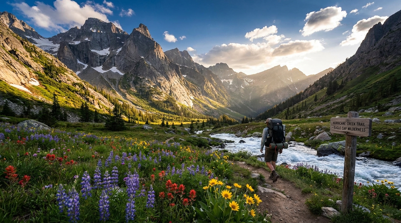
Hurricane Creek Trail (Trail #1807) runs south from the trailhead alongside the rushing creek, hemmed in by some of the most vertical granite walls in the Wallowas. The initial 4 miles are relatively gentle, climbing through old-growth fir and spruce with the creek constantly audible — or visible — to your right. This lower drainage sees minimal traffic compared to the lake basin, and the solitude feels earned even before the real climb begins.
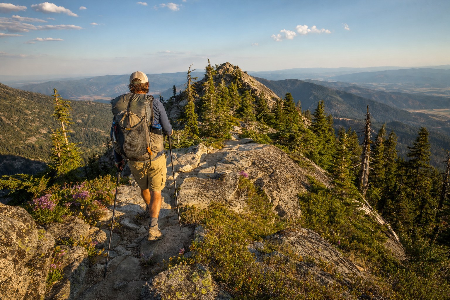
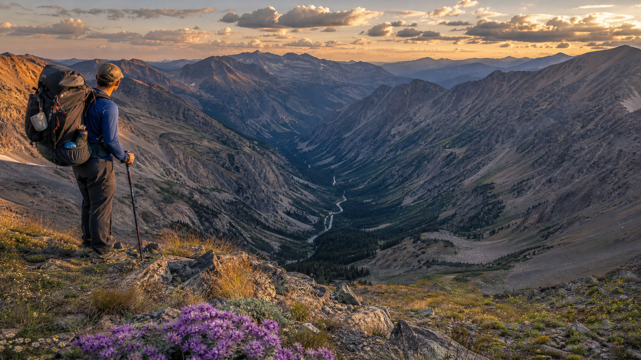
At roughly mile 4.5, you'll reach the junction with Andies Prairie Trail. Stay right on the main Hurricane Creek Trail. The gradient increases meaningfully here as the drainage opens and the forest thins. Above timberline — around 6,800 feet — the terrain opens into sweeping alpine meadows with expansive views back down the drainage toward the plains of Wallowa County. On a clear day, you can see well into Idaho.
Crossing the Final Basin
The final push to Aneroid Lake crosses a high open basin that can hold snow into late July in heavy years. If you're making this trip in early summer, pack traction devices and poles. In a typical late-July visit, the snow is gone but the wildflowers are at peak — paintbrush, lupine, and columbine carpeting the basin floor.
Aneroid Lake appears suddenly over a final granite step. At 7,527 feet, it's a deep, cold cirque lake backed by the limestone-capped ramparts of the Eagle Cap massif. Camp at designated sites at least 200 feet from the water — this is a heavily visited lake and Leave No Trace compliance matters here more than almost anywhere in eastern Oregon.
Day 2: Side Trip to Tenderfoot Pass and Out (options)
With camp established at Aneroid, the route to Tenderfoot Pass (8,400 ft) offers one of the best half-day alpine loops in the Wallowas. The pass connects to the Wallowa Lake drainage on the far side, giving strong hikers the option of a point-to-point traverse with a car shuttle — in that case, have a vehicle waiting at the Wallowa Lake Trailhead parking area.
For an out-and-back, the view from Tenderfoot Pass into the East Fork Wallowa drainage and toward Glacier Lake is worth every step. Return to your Hurricane Creek camp, pack up, and descend the full 10 miles back to the trailhead. The downhill moves quickly on a well-maintained trail.
Fishing at Aneroid Lake
Aneroid holds a self-sustaining population of brook trout, and they're aggressive to small spinners and dry flies. A 1/16 oz Panther Martin or a size 14 Elk Hair Caddis in the evening will produce. Oregon fishing license required — no additional wilderness permit needed to fish here.
Wildlife and What to Expect
- Mountain goats are regularly spotted on the cliffs above the upper basin — look for white specks on the vertical limestone faces south of the lake
- Black bears use the berry fields in the lower drainage from late summer on — hang your food or use a hard-sided canister
- Pikas and marmots are everywhere in the talus fields above 7,000 feet
- Weather: Afternoon thunderstorms build fast in the Wallowas. Plan to be below exposed ridges by 1 PM in summer
Gear Notes for Hurricane Creek
The lower creek drainage is buggy through mid-July — pack DEET and long sleeves for camp. The upper basin is exposed, so a quality wind layer matters even in summer. Water is abundant throughout the route but filter everything; the cattle grazing in adjacent private lands means giardia pressure is real in the lower creeks. Above 7,000 feet you're above the grazing allotments and the water is cleaner, but filter out of principle.
This is a legitimate wilderness route — no signs, no trail counters, no rangers at the trailhead. The solitude is real and so is the self-reliance required. Carry the Ten Essentials, know how to navigate if clouds sock in, and tell someone your plan. The Hurricane Creek drainage is one of the finest two-day trips Oregon offers, and it deserves every bit of the preparation you give it.