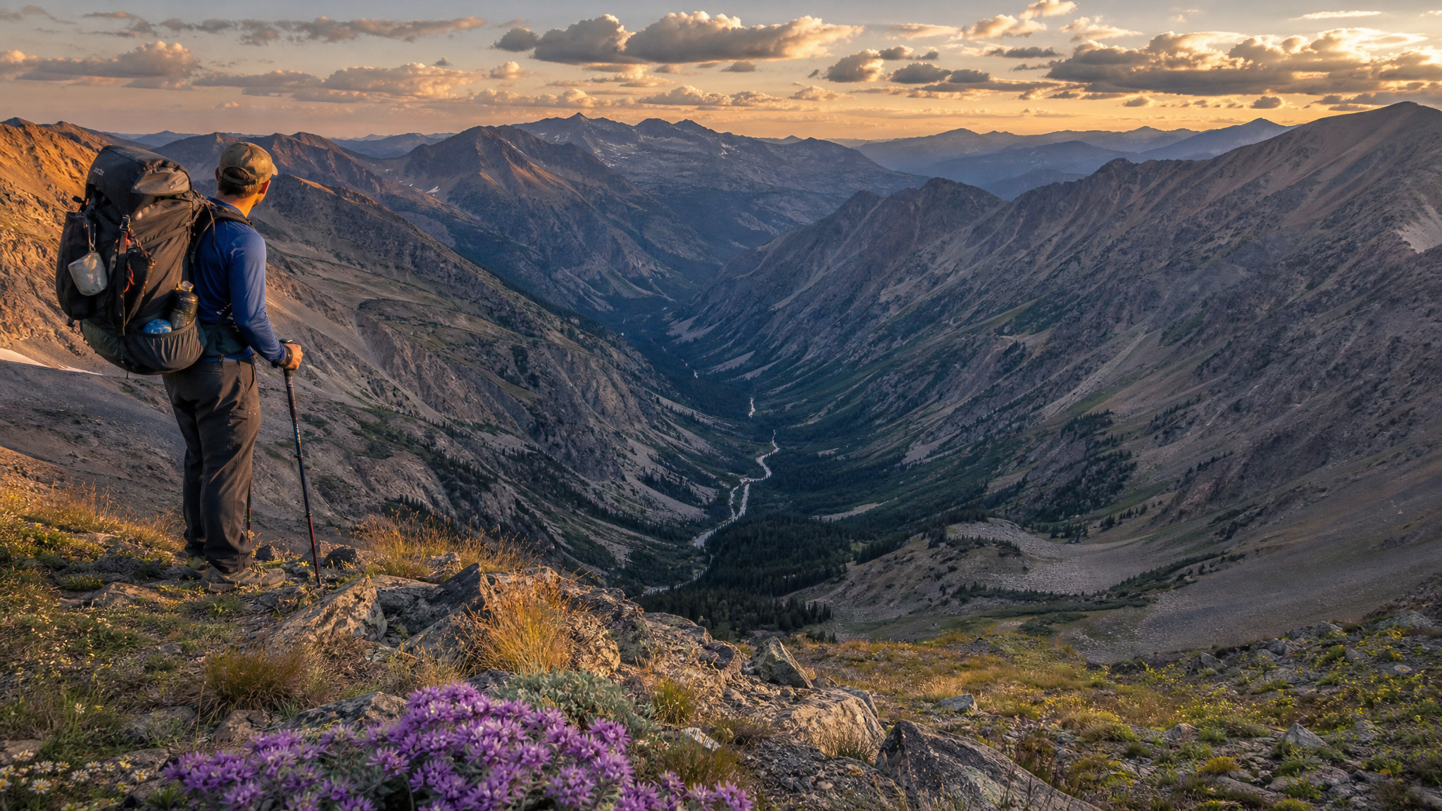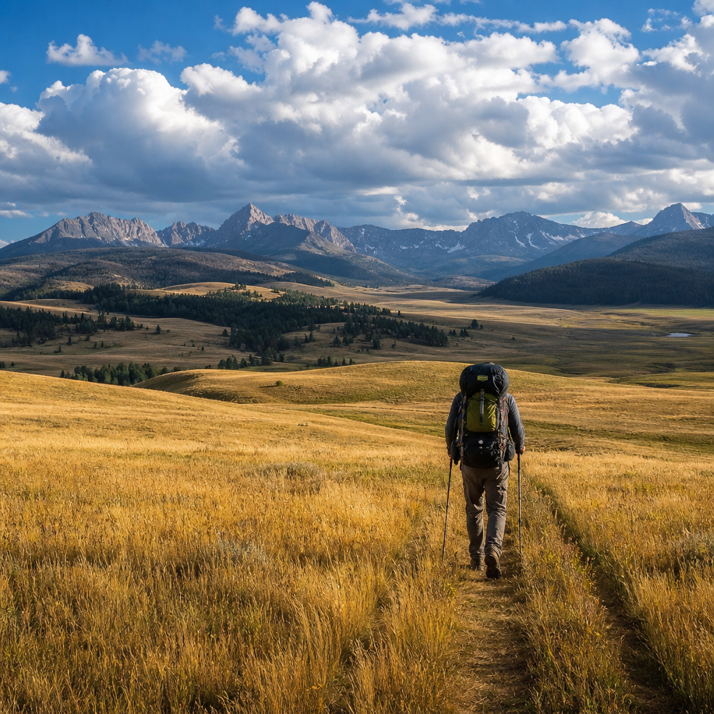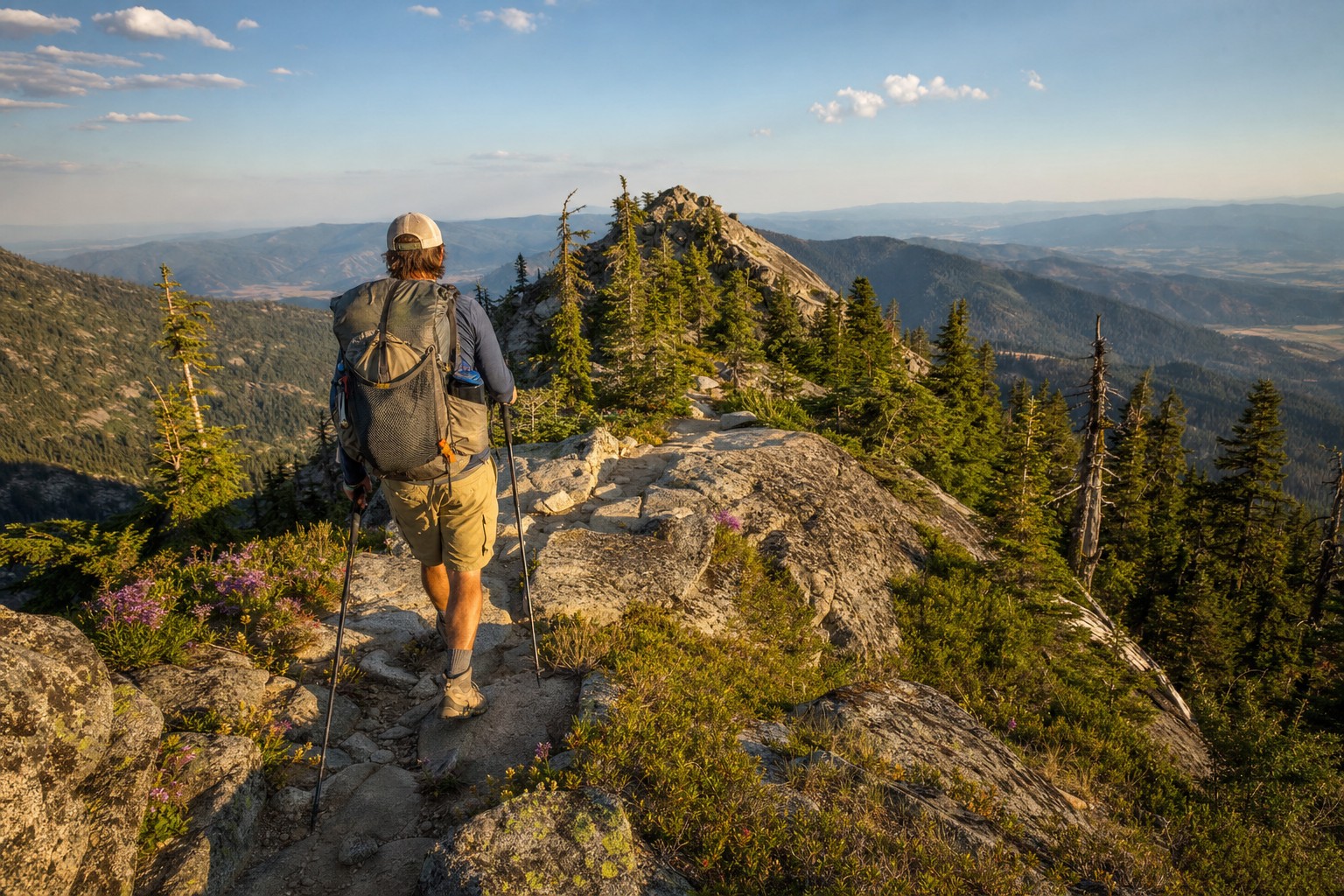
Oregon's Blue Mountains don't get the same Instagram attention as the Three Sisters or Wallowas, and that's exactly why serious backpackers should go there. The Elkhorn Range, rising to 8,931 feet at Rock Creek Butte just west of Baker City, offers everything a September backcountry trip needs: dramatic ridgeline hiking, alpine lakes, historical depth from the region's gold rush past, and trail registers that might go weeks between signatures. This is earned solitude in one of Oregon's most overlooked wilderness corridors.
About the Elkhorn Crest National Recreation Trail
The Elkhorn Crest Trail runs approximately 23 miles north-to-south along the spine of the Elkhorn Range within the Wallowa-Whitman National Forest. The trail follows exposed ridgelines above 7,000 feet for much of its length, connecting forested drainages, open granite plateaus, and a string of small alpine lakes. For a 3-day loop, the southern trailhead at Anthony Lakes provides the most scenic and logistically clean option, combining the Elkhorn Crest with connecting trails to form a roughly 22–24 mile circuit.
Why September Is the Right Month
Late September hits a sweet spot in the Elkhорns. Snow has been gone from the high ridge since July, the mosquitoes that plague July trips are finished, hunting pressure on the main crest is modest (most elk hunters are in the lower-elevation timber), and the light is extraordinary — long golden hours as the sun tracks lower in the sky. Daytime highs in the 55–65°F range drop to the low 30s overnight, so cold-weather gear is essential but the hiking conditions are ideal. Larches in the Elkhorns begin to turn gold in early October, so late September puts you right on the leading edge of the color change.
3-Day Loop Itinerary from Anthony Lakes
Day 1: Anthony Lakes to Dutch Flat Lake (7.5 miles, +1,800 / -1,400 ft)
Begin at the Anthony Lakes Campground trailhead (elevation 7,100 ft) off Highway 411. Follow the trail north along the western slope of Gunsight Mountain before climbing to the main crest near Angell Peak (8,600 ft). The first couple of miles gain exposure quickly — on clear days you'll have views east toward the Snake River country and west to the Cascades. Drop southeast from the crest on the Dutch Flat Creek trail to Dutch Flat Lake (7,200 ft), a shallow but scenic tarn surrounded by subalpine fir. Camp well back from the water on existing sites. The lake holds a small population of brook trout — a 4-weight fly rod packs light and rewards well.
Day 2: Dutch Flat Lake to Crawfish Lake via Rock Creek Butte (8.5 miles, +2,100 / -1,900 ft)
This is the big day. Regain the crest from Dutch Flat and follow the exposed ridgeline south toward Rock Creek Butte (8,931 ft), the highest point in the Elkhorns and the route's high point. The summit scramble is non-technical but exposed — trekking poles help on loose granite. The 360-degree view from the top takes in the Wallowas to the northeast, Steens Mountain to the south on clear days, and the patchwork of Baker Valley farmland directly below. Descend the south ridge and pick up connecting trails west toward Crawfish Lake, one of the range's larger alpine lakes with established camping and a sense of real remoteness despite being relatively close to the trailhead. Crawfish historically held good populations of brook and rainbow trout.
Day 3: Crawfish Lake back to Anthony Lakes (6–7 miles, +1,600 / -1,800 ft)
Return north via the crest trail, traversing below Angell Peak and Gunsight Mountain. The morning light on the eastern escarpment is exceptional — this is the best photography of the trip. Drop back to Anthony Lakes by midday, leaving time to soak feet in the cold lake before the drive out to Baker City (30 minutes east) for a meal at any number of the town's restaurants serving the local ranching and hunting crowd.
Essential Gear for a September Elkhorn Trip
- Shelter: A 3-season tent rated to handle wind — the exposed ridgeline camps get hit hard by afternoon thermals. Guy lines are not optional up here.
- Sleep system: 20°F sleeping bag minimum. September nights at 7,200 ft will push into the 28–33°F range; a bag rated to 15°F gives margin.
- Water: Multiple water sources exist but the ridge sections are dry for 3–5 miles at a stretch. Carry 2–3 liters capacity. Treat all water — cattle grazing occurs in some drainages below 6,500 ft.
- Navigation: Download the Wallowa-Whitman NF Elkhorn Crest Trail topo on CalTopo or Gaia GPS before you leave cell range. Trail signs exist but some junctions are ambiguous on cloudy days on the exposed crest.
- Bear canister: Recommended but not required in this unit. Black bears are present and active in September as they hyperphagia before denning. Hang food or use a hard-sided canister — do not leave anything scented in your tent.
- Layers: The crest gets cold fast when afternoon clouds build. Bring a puffy, a wind shell, and wool or fleece mid-layer even if the forecast looks warm.
Hunting Season Awareness
September overlaps with Oregon archery elk season, and the Elkhorns hold a resident elk population. Wear blaze orange on approach roads and lower-elevation trails as a courtesy. Most archery hunters working this unit are after elk in the timber well below the crest, but visibility is good practice. If you're backpacking during the general rifle season (mid-October), blaze orange is strongly advised on all trails in the Wallowa-Whitman NF.
Getting There
From Baker City, take I-84 north to North Powder, then head west on Highway 237 and follow signs to Anthony Lakes (Forest Road 73). The drive from Baker City to the Anthony Lakes trailhead is approximately 35 miles and takes about 45 minutes. The access road is paved to the campground. No permit is required for overnight camping in this area as of 2026, but check with the Baker City Ranger District (541-523-6391) for current fire restrictions before your trip.
The Elkhorns reward the curious and punish the under-prepared. Get your gear sorted, download your maps, and go find out why this range deserves a place on every Oregon backpacker's list.