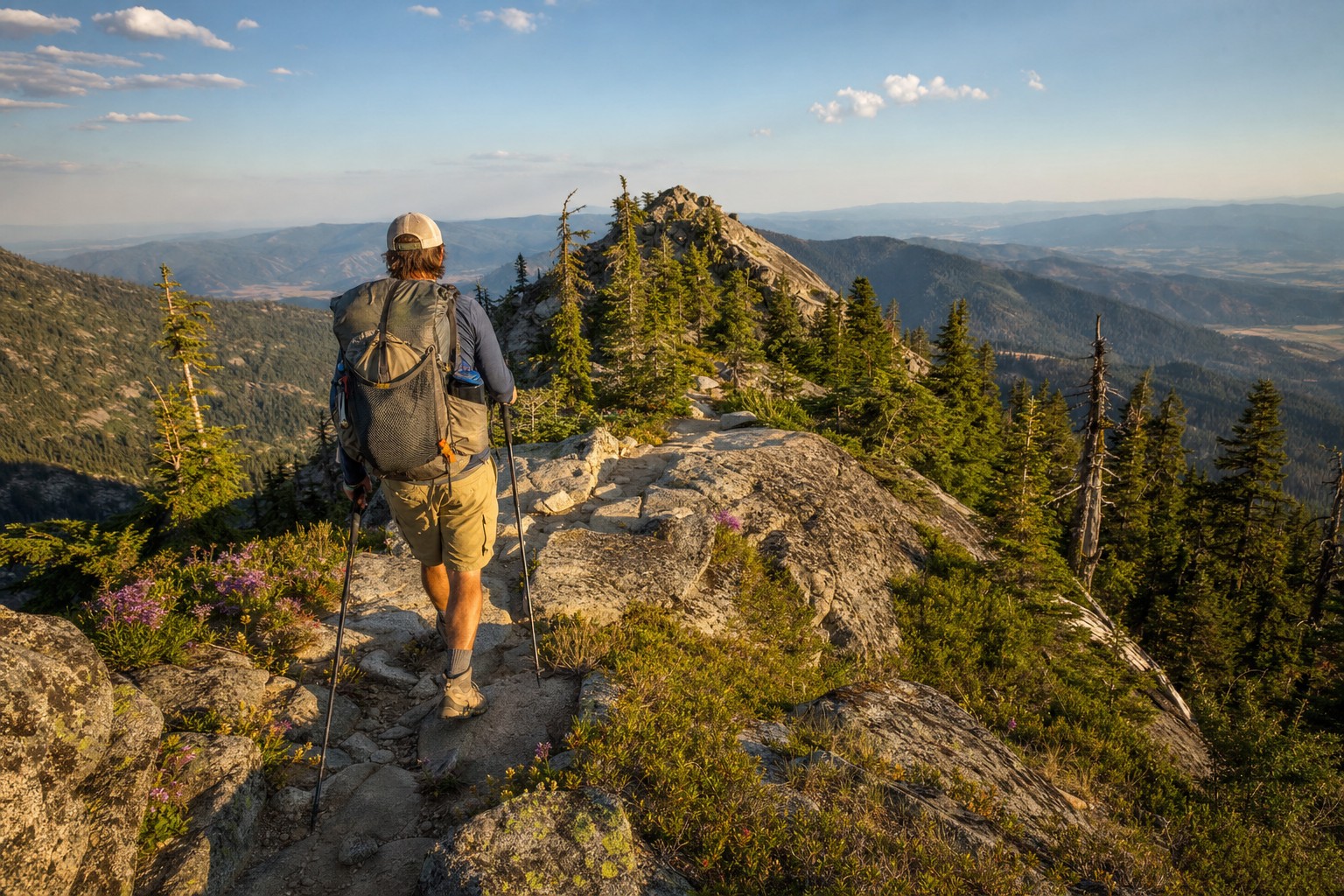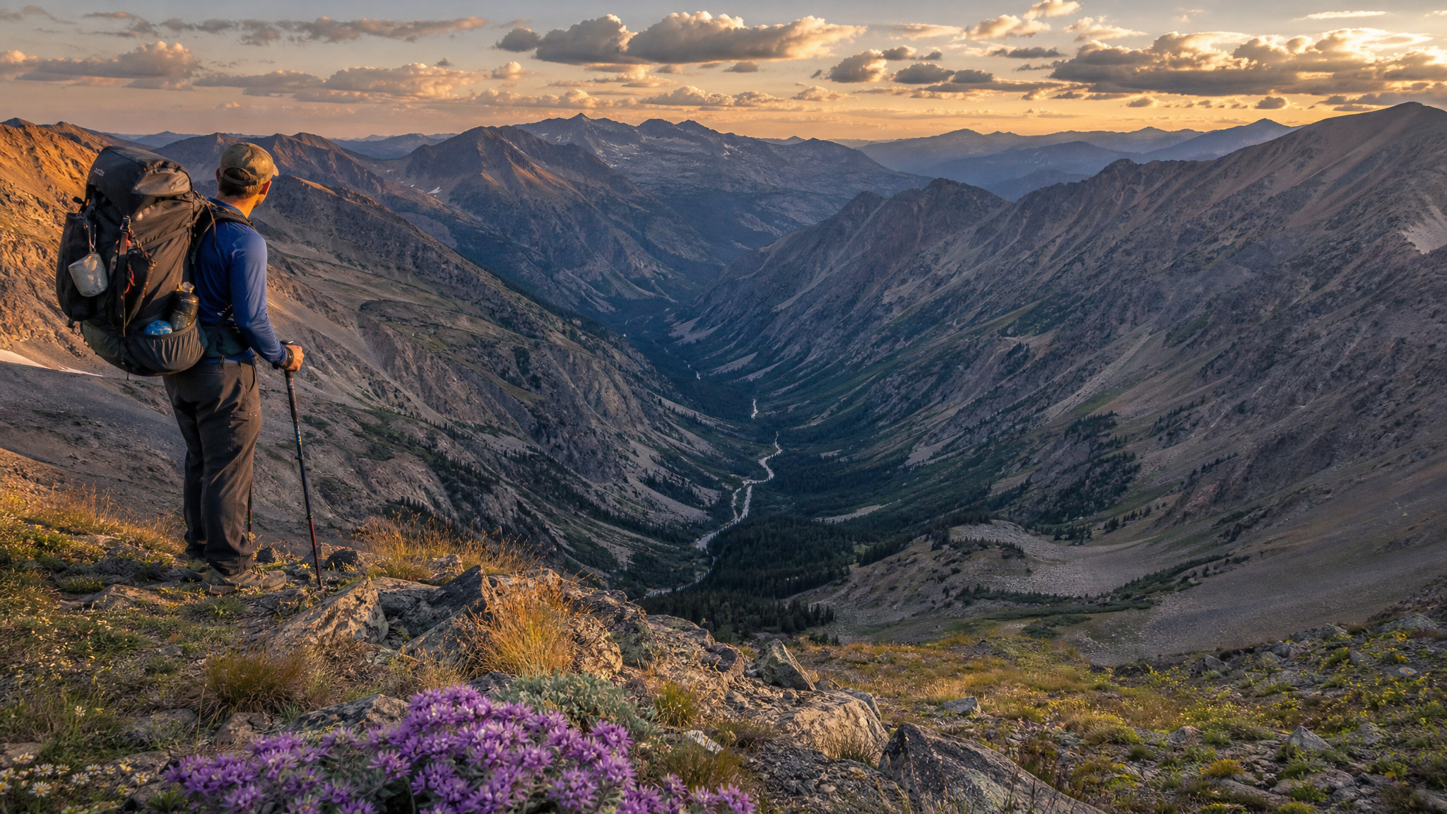
Ask most Oregon backpackers about wilderness areas in the John Day country and you'll get blank stares. The Eagle Cap Wilderness gets the Instagram posts. The Three Sisters and Mount Jefferson get the PCT crowds. Black Canyon Wilderness, tucked into the remote folds of the Ochoco National Forest in Grant County, gets almost nobody — and that's precisely its appeal.
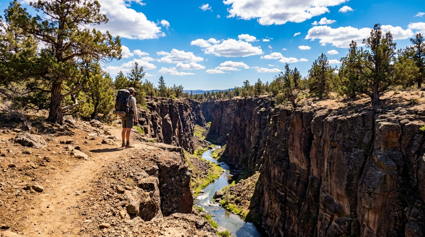
Designated as wilderness in 1984, Black Canyon covers approximately 13,400 acres in a landscape that defies the stereotypes of Oregon's high desert. This isn't the flat sagebrush monotony of the Alvord basin. Black Canyon is carved terrain — deep, narrow canyons dropping several hundred feet below rolling ponderosa pine plateaus, with Black Canyon Creek threading through the bottom over basalt and volcanic rock that gives the drainage its name.
The Landscape
The wilderness occupies a transition zone between the high Ochoco Mountains to the west and the John Day basin to the east. Elevations range from around 3,400 feet in the canyon bottoms to over 5,200 feet on the rim tops. That vertical relief, combined with the creek's reliable water, creates biological diversity that feels dramatically out of place for eastern Oregon.
The canyon walls support ponderosa pine, western juniper, mountain mahogany, and bitterbrush. Down in the riparian corridor, willows, wild rose, and native grasses crowd the creek banks. Wildlife reflects the diversity: Rocky Mountain elk use the canyon year-round, mule deer are common, and the area holds black bear, coyotes, and a healthy population of raptors. Golden eagles are frequently seen working the thermals above the canyon rims.
What you won't find is groomed trails, trail signs at every junction, or reliable cell service. Black Canyon is genuinely remote in a way that many designated wilderness areas in Oregon have stopped being.
Getting There
The wilderness is accessed primarily from Hwy 26 east of Prineville, between Mitchell and Dayville. From Dayville, Forest Road 38 leads south into the Ochoco NF and connects to the primary trailheads. The Black Canyon Trailhead on the creek's lower end is the most common starting point.
From Prineville: approximately 75 miles via Hwy 26 to Dayville, then south on FR 38. The Forest Roads are gravel and generally passable for passenger vehicles in summer, though the last few miles to some access points may require higher clearance. Check with the Ochoco NF Prineville Ranger District before heading out — road conditions vary and are not always current on online maps.
The nearest services are in Mitchell (population ~130) to the north on Hwy 26, which has basic fuel and a small store. Stock up before leaving Prineville or Bend.
Routes and Trails
Black Canyon Trail (Lower to Upper)
The primary route follows Black Canyon Creek through the length of the wilderness — approximately 9 miles from the lower trailhead to the upper access point. The trail alternates between canyon bottom, creek crossings (plan to get your feet wet), and rim-top segments. Total elevation gain over the full length is modest given the mostly canyon-bottom character, but trail conditions are rugged.
For a 2-day trip, car camping at one end and hiking through makes the logistics simple if you can arrange a shuttle. Without a shuttle, plan an out-and-back from either end — the lower 4 miles from the main trailhead offer the most dramatic canyon scenery before the drainage opens up.
Rim Top Routes
Less defined user trails exist along both canyon rims, used primarily by hunters during deer and elk seasons. In summer, these make for excellent early-morning glassing routes and provide views into the canyon that the creek-bottom trail can't match. Navigation requires map and compass or a downloaded topo — there are no maintained trail markers on the rim routes.
3-Day Loop (Recommended)
A satisfying 3-day route enters via the lower trailhead, follows the creek upstream to a flat camping area at roughly mile 4.5, then climbs a user trail to the south rim on day 2 for views and rim-top exploration, and returns to the trailhead on day 3. Total mileage: 20–22 miles depending on how much rim you explore. Challenging in summer heat — start early each day and plan to be in shade or at camp before noon.
Water and Camping
Black Canyon Creek runs year-round, making water less of a concern here than in many eastern Oregon wilderness areas. Filter everything — cattle graze the Forest Service land adjacent to the wilderness boundary, and the water quality downstream reflects it. A quality pump filter or gravity filter rated for sediment is recommended; the creek runs turbid after any precipitation.
Camping is dispersed throughout the wilderness — no designated sites, no fees, no permits currently required (verify with the ranger district before your trip, as regulations evolve). Good flat camping exists at several widening points along the creek bottom. Avoid camping directly on creek banks — both for Leave No Trace compliance and because early-morning thunderstorms in July can push water levels up quickly.
- Bear canisters recommended — Black bears are active here in summer. Hang food or use a canister.
- Fire restrictions — Eastern Oregon fire restrictions are typically in effect from late June through October. Check current restrictions before lighting a fire. Stove-only camping is the safe assumption.
- Heat — July temperatures in the canyon can reach 95°F+ by mid-afternoon. Hike early, rest during the heat of the day, hike again in evening.
What to Expect
This is not a beginner wilderness. The trails are unmaintained in places, the creek crossings can be ankle-to-knee deep through mid-summer, and navigation on the rim routes requires competence. What it offers in return is the rarest thing in 21st-century outdoor recreation: genuine solitude.
In three trips to Black Canyon Wilderness over the past decade, we have encountered a total of four other parties — two groups of hunters in the fall and two backpackers in early June. In July, the canyon is almost certainly empty except for wildlife. The elk don't know that nearby Eagle Cap gets thousands of visitors per summer; they're not comparing notes. They're just here, in a canyon most people have never heard of.
Maps and Resources
- USGS 7.5-minute topos: Black Canyon and Aldrich Mountain SW quadrangles cover the wilderness
- Ochoco National Forest Motor Vehicle Use Map — essential for navigating access roads
- onX Backcountry — wilderness boundary layer clearly marked, topo basemap
- Contact: Ochoco NF Prineville Ranger District, (541) 416-6500
Pack your patience, your water filter, and your willingness to navigate without hand-holding. Black Canyon Wilderness will reward all three.