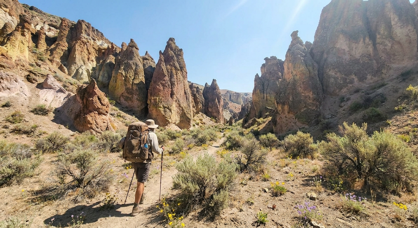
Say Rogue River to most Oregon outdoor enthusiasts and they think rafting. Say Umpqua and they picture steelhead. But wedged between the two drainages, rising to nearly 7,000 feet along a volcanic ridge that forms the backbone of Southern Oregon, sits the Rogue-Umpqua Divide Wilderness — 33,200 acres of old-growth Douglas fir, subalpine meadows, rocky crags, and small mountain lakes that see a fraction of the traffic that Eagle Cap or the Three Sisters attract.
For backpackers who have hit the flagship wilderness areas and are looking for genuine solitude, this is it. A well-executed 3-day loop along the Rogue-Umpqua Divide Trail offers stunning ridgeline travel, wildlife encounters, wildflower meadows in full bloom through July, and the distinctive silhouettes of ancient volcanic terrain — all without a permit required and without crowds.
Area Overview and Best Season
The Rogue-Umpqua Divide Wilderness sits within the Umpqua National Forest, administered out of the Tiller Ranger District. The wilderness straddles the divide between Jackson and Douglas counties, with access roads approaching from both the Rogue River (north of Prospect) and the upper North Umpqua drainage. The highest point in the wilderness is Highrock Mountain at 6,903 feet.
The best backpacking window runs from late June through mid-October, with the wildflower peak typically arriving in late June and early July. Snow can linger on north-facing slopes into early July in heavy years. The area receives significant precipitation driven up from the Pacific, so even in summer, plan for afternoon thunderstorms — particularly in July and August. The forest service road to the trailheads (Forest Road 37 and its spurs) typically opens to passenger vehicles by mid-June.
The 3-Day Loop: Castle Creek to Fish Lake to the Divide
Day 1: Castle Creek Trailhead to Fish Lake (7.5 miles)
Start at the Castle Creek Trailhead off Forest Road 3790, elevation approximately 4,100 feet. Trail 1578 heads north into old-growth Douglas fir and white fir timber — the old-growth character here is remarkable, with trees 200 to 400 years old creating a cathedral canopy rarely seen in lower-elevation Oregon forests.
After roughly 4 miles, the trail intersects the main Rogue-Umpqua Divide Trail (Trail 1470). Turn east (right) and follow the divide northeast. The trail gains elevation steadily as the timber opens into subalpine meadows near the 5,500-foot mark, with increasingly expansive views south toward the Rogue River canyon country and the Klamath Mountains on clear days.
Camp 1 target: Fish Lake, a small but picturesque subalpine lake at approximately 5,600 feet. Expect campsites on the northeast and southeast shores. Water is abundant; treat before drinking. This is legitimate bear country — hang your food or use a canister.
Day 2: Fish Lake to Highrock Mountain and Beyond (8 miles)
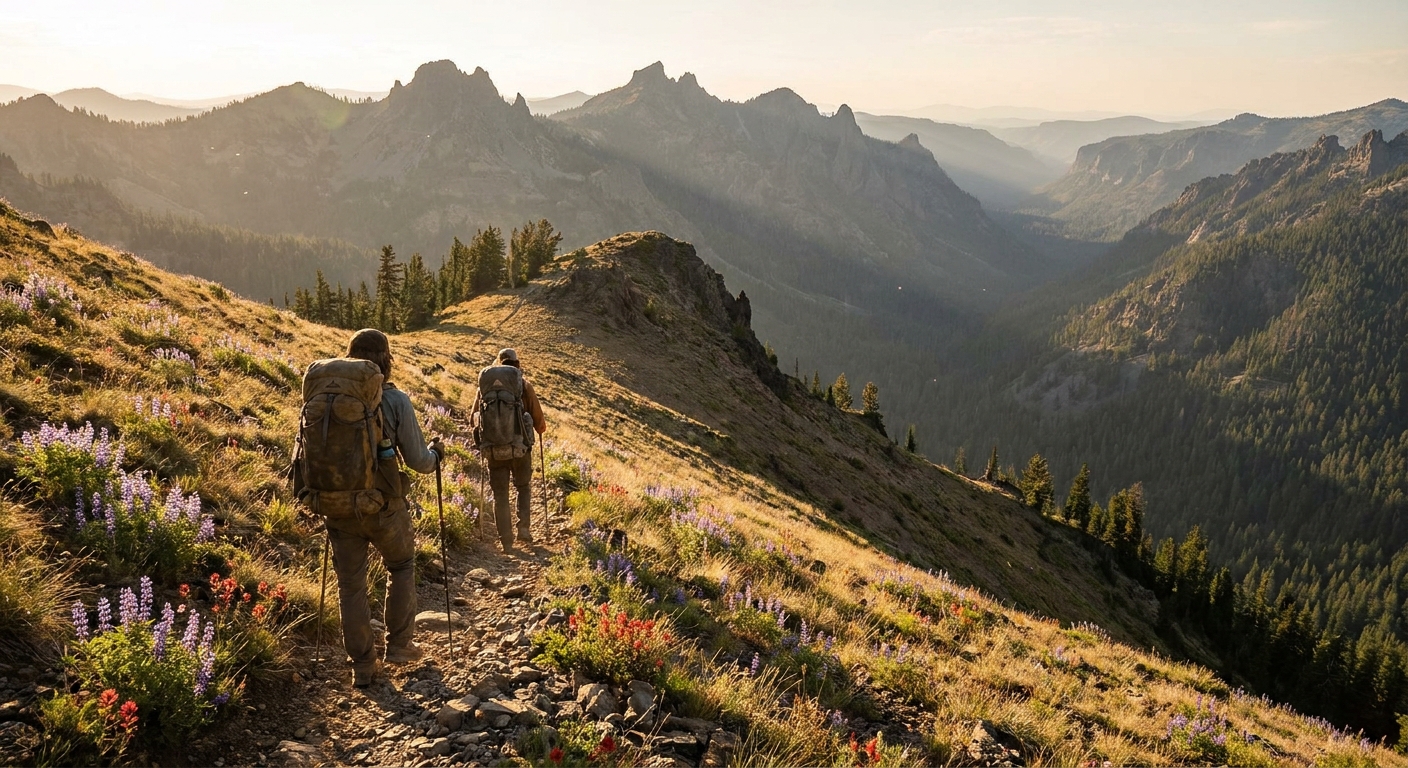
Day 2 is the highlight of the loop. Continue northeast along the divide trail, climbing toward the flanks of Highrock Mountain. The trail stays generally below the true summit but traverses a spectacular rocky ridge with views in every direction — on a clear morning you can pick out Mount McLoughlin to the southeast and the Cascades chain stretching north.
Watch for Roosevelt elk in the upper meadows, particularly in the early morning hours — this wilderness hosts a resident herd, and July encounters are common on the north-facing slopes where elk retreat from summer heat.
The trail descends through patchy subalpine fir and mountain hemlock after the high point, eventually reaching the meadows around Abbott Butte. Camp in the tree-fringe below the butte, away from the open meadows (Leave No Trace impact reduction). Water sources along this stretch are seasonal — check current conditions with the Tiller Ranger District before your trip.
Day 3: Return via the Western Ridgeline (6.5 miles)
Return via the western leg of the loop, which drops off the divide into the upper Castle Creek drainage through progressively thicker timber. Trail conditions on this return segment are generally good but less traveled — expect some blowdown in years following heavy snowfall. The descent through old-growth on the final 2 miles back to the trailhead is a fitting close to the trip, a reminder that this particular corner of Southern Oregon has been left largely to its own devices.
Permits, Regulations, and Leave No Trace
- No overnight permit required as of 2026. A free self-issue day-use permit is available at the trailhead for day hikers.
- Campfires are restricted or prohibited during fire season, typically July 15 through October 15. Bring a stove.
- Dogs must be on leash within the wilderness (Umpqua NF travel regulations).
- Bear canisters are not required but are strongly recommended given the active bear population. At minimum, use a properly hung food hang — 12 feet high, 6 feet from the trunk, 6 feet below the branch.
- Camp 200 feet from water, trails, and other campers.
Getting There
From Medford, take OR-62 north toward Crater Lake. Turn north on Prospect Road toward Prospect, then follow signs toward the upper Rogue River drainage and Forest Road 37. The Castle Creek Trailhead is approximately 2.5 hours from Medford. From Roseburg, take OR-138 east toward Steamboat and Diamond Lake, then south on Forest Road 37 — plan 2 hours from Roseburg. A high-clearance vehicle is recommended for some spur roads but is not strictly required in dry summer conditions.
Get current road conditions from the Tiller Ranger District: (541) 825-3201. This office is genuinely responsive and can tell you exactly what roads are open and what snow conditions look like in a given year.
Why This Wilderness Deserves More Attention
The Rogue-Umpqua Divide does not have the name recognition of Diamond Peak or the Sky Lakes Wilderness, and that is entirely the point. The trails are well-maintained by a dedicated volunteer trail crew, the old-growth is intact and impressive, the wildlife is abundant, and on a late-June weekend you may share the trail with nobody at all. Southern Oregon's forgotten high country is waiting.