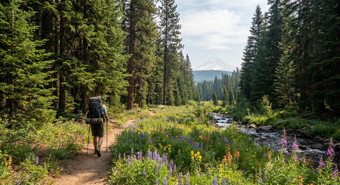
The Elkhorn Range does not get the attention of the Wallowas or the Three Sisters, and that is entirely to its credit. This compact granite range west of Baker City holds 23 miles of continuous high-country trail, a dozen alpine lakes, and views that stretch from the Blue Mountains to the Wallowa peaks on a clear summer day. The Elkhorn Crest Trail is one of the finest ridge walks in northeastern Oregon, and the modest crowds mean you have a real chance at solitude even on a summer weekend.
The Route Overview
The classic Elkhorn Crest traverse runs from Anthony Lakes Campground on the north end to Marble Creek Pass on the south, or in reverse. The trail covers approximately 23 miles of mostly above-treeline terrain with cumulative elevation gain in the 4,000 to 5,000-foot range depending on the specific route and side trips taken. A car shuttle between the Anthony Lakes trailhead and the Marble Creek Pass trailhead on Forest Road 7301 makes the one-way traverse logical.
For a 3-day itinerary, this translates to roughly 7 to 8 miles per day with time to explore side trails, fish the alpine lakes, and enjoy the scenery at a reasonable pace.
Day 1: Anthony Lakes to Dutch Flat Lake
Start at the Anthony Lakes Campground trailhead, elevation 7,100 feet. The first few miles of the Elkhorn Crest Trail climb steadily through subalpine fir and whitebark pine to the open ridge at roughly 8,000 feet. From here the trail follows the crest with continuous views to the east over the Baker Valley and west into the timber drainages of the Powder River watershed.
Dutch Flat Lake sits in a granite cirque at mile 7.5 and makes an ideal first-night camp. The lake holds native brook trout in the 8 to 12-inch range and the surrounding granite slabs provide excellent flat tent sites above the high water mark. Fishing pressure is light enough that a few small dry flies or inline spinners will produce consistent action through the evening.
Water is generally available from small snowmelt streams along the crest early in summer, but by late July to August, some of these sources dry up. Carry 2 to 3 liters from dependable sources.
Day 2: Dutch Flat Lake to Twin Lakes
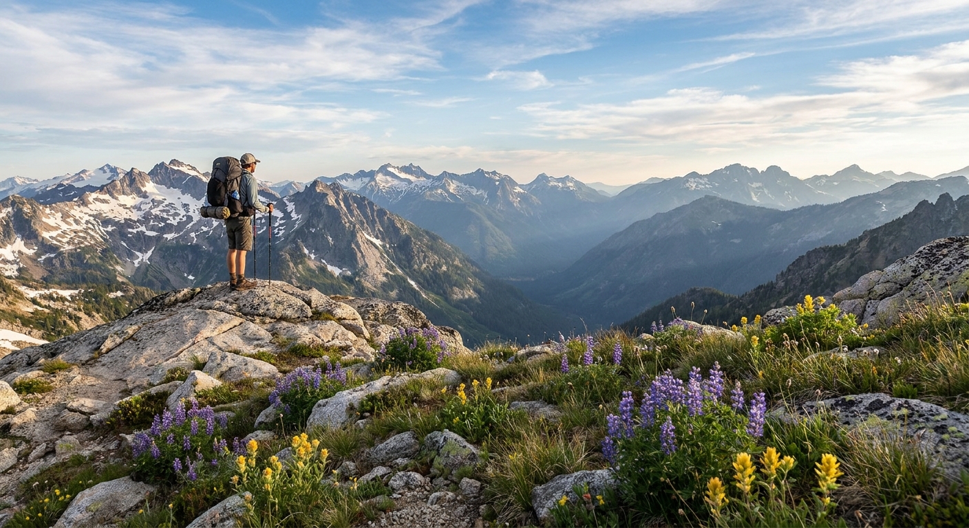
This is the most dramatic day of the traverse. From Dutch Flat, the trail continues south along the crest to the high point of the route near Nip and Tuck Pass at approximately 8,400 feet. On a clear summer morning, the views from this section rival anything in Oregon outside of the Wallowas proper.
The Elkhorn Wildlife Area sprawls to the east below the ridge. Mule deer and elk are common sightings throughout the day, particularly in the early morning and evening. Pronghorn have been documented in the lower basins east of the crest during summer. Scan the open slopes carefully and you may also spot mountain goats, which were introduced to the Elkhorns and have established a small but stable population on the steeper granite faces.
Twin Lakes at mile 15 is the second-night objective. The upper and lower lakes sit in a granite bowl with good camping on the south shore. Both lakes hold brook trout and the lower lake in particular is known for larger fish than average in the Elkhorn alpine lakes.
Day 3: Twin Lakes to Marble Creek Pass
The final 8 miles from Twin Lakes to Marble Creek Pass gradually descend from the high crest terrain into upper subalpine forest. The trail passes through the headwaters of several small drainages and crosses a series of granite benches before dropping to the pass trailhead on FR 7301.
Allow time on this final day to explore the Crawfish Lake area just off the main trail if your legs allow it. Crawfish is the largest lake in the Elkhorns at about 50 acres and supports a fishery of planted rainbow and brook trout. It also sees more day-use traffic than the crest lakes, so camp elsewhere but consider a lunch stop on the north shore.
Permits, Regulations, and Leave No Trace
The Elkhorn Crest Trail falls within the Wallowa-Whitman National Forest. No wilderness permit is currently required, but a Northwest Forest Pass or America the Beautiful pass is needed for the Anthony Lakes trailhead parking area. Campfires are subject to seasonal restrictions; check with the Baker City Ranger District before your trip. Camp at least 200 feet from lake shorelines and use existing fire rings where fires are permitted. Pack out all waste. The Elkhorns are small enough that concentrated impact around the alpine lakes is a real concern.
Best Time to Go
The Elkhorn Crest is typically accessible from late June through early October. Snow lingers on the north-facing slopes through late June most years. July and August offer the most reliable weather and the best wildflower displays. September brings cooler temperatures, fewer bugs, elk bugling in the drainages below the crest, and hardwood color in the lower elevations. Early season hikers should carry microspikes for potential snow crossings on the north aspects.
Getting There
From Baker City, take Highway 30 west to Haines, then follow Anthony Lakes Highway (Forest Road 73) approximately 22 miles to the Anthony Lakes Campground. The southern Marble Creek Pass trailhead is reached via Sumpter and Forest Road 7301. Cell service is nonexistent in this area; download offline maps on CalTopo or Gaia GPS before leaving Baker City.
Final Thoughts
The Elkhorn Crest Trail is one of eastern Oregon's finest multiday routes and a legitimate alternative to the more crowded Wallowa Mountains for hikers looking for solitude, granite lakes, and open ridge walking. The lack of a formal wilderness designation has kept this area off many people's radar. That is their loss and your gain. Put it on the summer calendar before the secret gets out entirely.